

The winter term came to its end last week. While most of my colleagues were teaching within the EAGLE study program, it was my pleasure to give three courses to Bachelor and Master students who are anchored in various geography study programs.
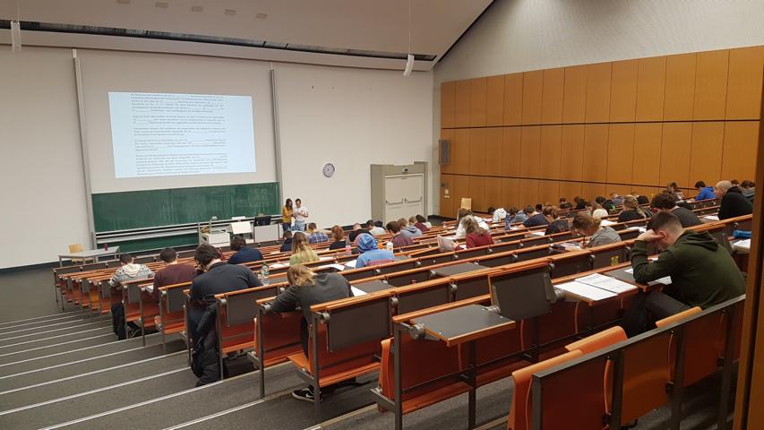
Among all classes, the most outreached one was the lecture “Introduction in geographical Remote Sensing” with a strength of nearly 100 students present every week. I value very much, that also students of other programs (e.g. informatics, physics, biology and archeology) attended the lecture, because it shows the interdisciplinarity of Remote Sensing. Three lectures were given by Dr. Doris Klein and she also showed, how diverse the background of the EO community is.
The lecture outline was split in two main parts: Earth observation with optical and thermal sensors as passive systems and Radar/LIDAR as active systems. A major focus was the physical principles of Remote Sensing such as radiation laws and resolution characteristics (spatial, spectral, temporal and radiometric) as well as on different orbits.
For each lecture, I prepared a script that includes mandatory book lessons in parallel with additional videos (e.g. a video by Karen Joyce on the NDVI). The lecture material is designed from a variety of reputed sources for instance from ESA and NASA material and the Sentinel Playground). It was a great experience to see how the students appreciate up-to-date information and current news about the EO community.
By handing out exercise sheets, the students had time to dive into the different topics before they were discussed in additional tutorials. During the semester tutorials, given by the advanced students Anne Hartig, Janine Herkommer, Luisa Wagner and Maximilian Merzdorf, the exercises were presented and additionally questions – which are only raised when students can apply their knowledge – were answered. Led by the tutors, who also took part in a course offered within the mentoring program of the faculty, the students developed some exam questions (e.g. open questions, single or multiple choice questions, assignment questions).
A highlight of the term was the keynote presentation within the Public Climate School, in which we showed how Remote Sensing to monitor the human footprint in light of global change (separate blog post will follow soon).
Since the students can choose between several minors, the seminar “Remote Sensing data analysis“ was visited by fewer students. This made me to emphasize on hands-on-data in the course as well as a in a tutorial, this term led by the EAGLE student Jakob Wachter.
Using the open Landsat and Sentinel-2 data, students were guided to work on some practical sessions by applying their theoretical lecture knowledge in ENVI and QGIS. They were instructed to download the remote sensing data from several platforms and to perform different steps such as data pre-processing, calculating indices, performing unsupervised and supervised classifications, carrying out accuracy assessments and change detection. This made the participants to learn the purpose of the Landsat-equivalent data and presently, they are working on their seminar papers in which they will present a change detection analysis on a topic of their interest.
Holding the third seminar “Remote Sensing of the land surface“ with my colleague Dr. Christian Hüttich, resulted as the most challenging part of this overall lecture session. Jointly, we taught to a diverse group of students: some of them were the students of JMU and just visited the lectures and/or the seminars while others did their Bachelors at other universities without having Remote Sensing in their curriculum. It was great to see, how many students were interested in the topics (we opened the course for more participants than initially planned) and also that all students completed the course! We are looking forward to seeing their ESRI Strory Maps, in which they work with remotely sensed parameters of the Earth’s surface.
Since not all students plan a scientific career, I think it is also important to show them some related alternative perspectives. As it’s mandatory for all students to carry out their internships, I want them to get in touch with non-scientific employees. Hendrik Flock (AKDB) was visiting the Bachelor‘s course and was talking about how municipalities use GIS and airborne data for their tasks. Jan Watzema is working at the Klimaagentur Thüringen and showed the Master students, how Remote Sensing is used to derive information on temperature extremes.


