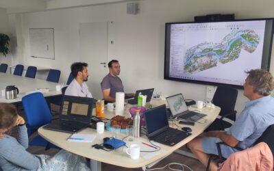
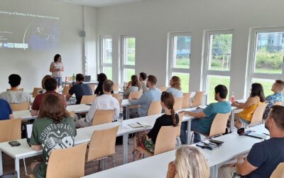
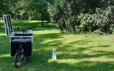
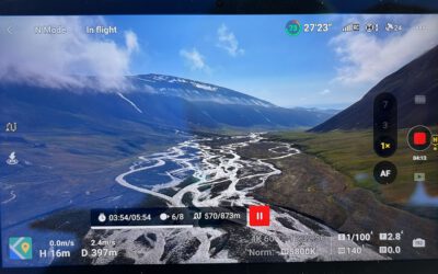
On September 28th, 2023, we had the privilege of engaging in a workshop with the Center for Satellite based Crisis Information (ZKI) at the German Remote Sensing Data Center (DFD), German Aerospace Center (DLR). Our purpose was to delve into potential collaborations within the expansive realm of georisks and emergency mapping, as well as fostering data exchange. During this meeting, we showcased our UAS and space-borne mapping approaches that have already been successfully honed by our EORcluster. We thank the entire team at DLR ZKI for their warm welcome, and we eagerly anticipate the prospect of forging meaningful collaborations in the near future.
The workshop participants were (from left to right) Dr. Konstanze Lechner, the Deputy Head of DLR ZKI; Lucas Angermann, DLR ZKI; and three members of the EOR Cluster, namely Dr. Martina Wilde, Dr. Sarah Schönbrodt-Stitt, and Dr. Mirjana Bevanda. Additionally, Dr. Marc Wieland, DLR ZKI; and last but certainly not least, Dr. Monika Gähler, the Head of DLR ZKI. We extend our gratitude to Dr. Anne Schneibel of DLR ZKI, although not captured in the picture. This meeting marked a significant leap forward in our quest to collaborate within the topic of georisks and emergency mapping. With the collective expertise and collaborative efforts of both our EOR Cluster and the DLR ZKI, we are looking forward to our partnership. Stay tuned for more updates and developments!


