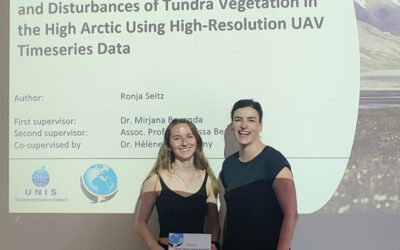
Our article in MEE got accepted “r.pi: a GRASS GIS package for semi-automatic spatial pattern analysis of remotely sensed land cover data” by Martin Wegmann, Benjamin Leutner, Markus Metz, Markus Neteler, Stefan Dech, Stefan and Duccio Rocchini. It outlines the capabilities of the r.pi package to analyze spatial patterns derived from remote sensing land cover data to inform about landscape conditions and changes. Such fragmentation measures are relevant for ecology or conservation as well as for remote sensing to produce value-added landcover maps that provide details on the spatial structure of the landscape.

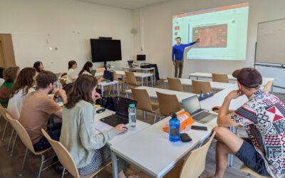
EORC and EAGLE summer BBQ
We’re happy to announce that our summer BBQ is happening again on Thursday, July 24th at 4pm! Alongside good food and a relaxed atmosphere, we’re also hosting a series of short talks highlighting exciting topics in Earth Observation and environmental science: “The...