

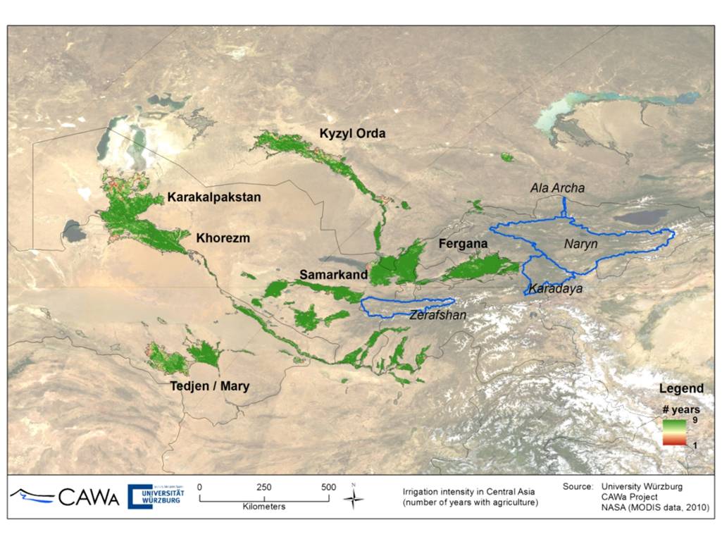
Focus region of CAWa WP3: Irrigation systems in the Aral Sea Basin
News from the CAWa project “Water in Central Asia”: On 6.2.2015 our team visited the Regional Environment Center of Central Asia (CAREC). The meeting focused on the identification of potential users and specification of use cases of the new web-based application “Water Use Efficiency Monitor for Central Asia” (WUEMoCA), which is subject of the third phase of the project.
WUEMoCA is the major topic of WP3 in CAWa phase III (2015-2017). It focuses on the provision of an online tool for regional assessments of water use efficiency in all extensive downstream irrigation systems of the transboundary Aral Sea Basin. The first aim is to provide information about crop yields of the major crops, i.e. “cotton”, “rice”, and “wheat”, based on free-of-charge accessible remote sensing (MODIS 250m) and meteorological (ECMWF) data aggregated at different scales ranging from Rayons to irrigation planning zones, and Oblasts. With this first part of the tool, negative developments should become visible (early warning and localization of indication for agricultural drought, harvest shortfalls).
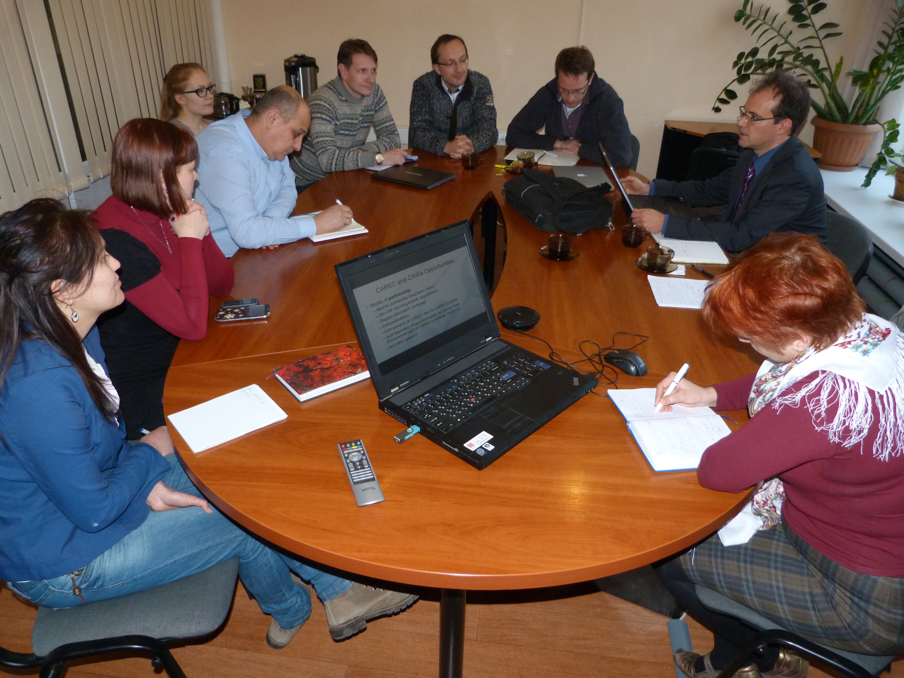
Final summary meeting of the CAWa meeting at CAREC in Almaty
Second, user interaction should become possible for adding data on additional crops and irrigation water amounts for the calculation of water use efficiency (how much water was used for crop production m3/t). The user will be enabled to contribute the additional information to the administrative boundaries and to request specific information based on user defined areas of interest. The second step should trigger user participation and raise interest in the development of own digital data management tools among the partners and users.


