Lecturers from Würzburg University Trained Young Scientists in GIS and Remote Sensing in the CAWa Edu Seminar in Dushanbe, Tajikistan

Lecturers from Würzburg University Trained Young Scientists in GIS and Remote Sensing in the CAWa Edu Seminar in Dushanbe, Tajikistan

July 23, 2019

Participants and trainers (Lucia Morper-Busch and Maik Netzband) of the CAWa Edu Seminar (first part) held in the State Scientific Institution “Center for Research of Glaciers” of the Academy of Sciences of the Republic of Tajikistan.

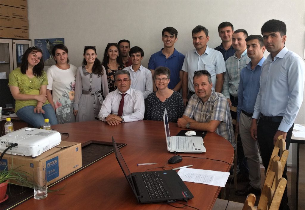
A group of 15 Tajik junior and senior researchers under the direction of Prof. Kayumov and Dr. Niyazov participated into the five-day CAWa Edu Seminar “Innovative Tools for Improved Water Management in Central Asia” (July 9-13, 2019) organized by the CAWa project (Regional Research Network “Water in Central Asia”), and hosted by the The State Scientific Institution “Center for Research of Glaciers” of the Academy of Sciences of the Republic of Tajikistan (AS RT).

The CAWa Edu Seminar provided an overview of data-driven methods in the field of climatology, hydrology, and irrigation agriculture. The emphasis was on the tools’ potentials for improved decision making in the context of water resource management in Central Asia.
The Seminar also included an introduction into statistical data analysis, geospatial analysis and remote sensing and thus provided a basis for the independent application and advanced development of the presented tools.

Lucia Morper-Busch and Maik Netzband from Würzburg University, Department of Remote Sensing, responsible for the first part, addressed the topics introduction to GIS, Remote Sensing and the CAWa online tool WUEMoCA (Water Use Efficiency Monitor in Central Asia).

you may also like:

Blender animation of Arctic Summer and Night

Blender animation of Arctic Summer and Night

Our EAGLE M.Sc. student Sebastian Rothaug continued working with various software programs and approaches we covered in our courses during the last winter term and came up with some great Arctic summer/winter animations using Blender. Sebastian's remarkable work with...

‘Ecosystem Services of the Urban Forest’-project meeting at DLR

‘Ecosystem Services of the Urban Forest’-project meeting at DLR

As part of the project "Ecosystem Services of the Urban Forest: area-wide modeling based on remote sensing and artificial intelligence" funded by the Deutsche Bundesstiftung Umwelt (DBU), the core team met at the Earth Observation Center (EOC) of the German Aerospace...

Five Years of Data Cube Innovations in AgriSens DEMMIN 4.0

Five Years of Data Cube Innovations in AgriSens DEMMIN 4.0

Over the past five years, we made significant advancements with our Data Cube development within the AgriSens DEMMIN 4.0 project. We enhanced the system architecture and the offerings of the Data Cube to optimize the use of remote sensing data for agricultural...