
EAGLE Advanced Course in Applied Programming for Urban Studies

EAGLE Advanced Course in Applied Programming for Urban Studies

m

July 30, 2025

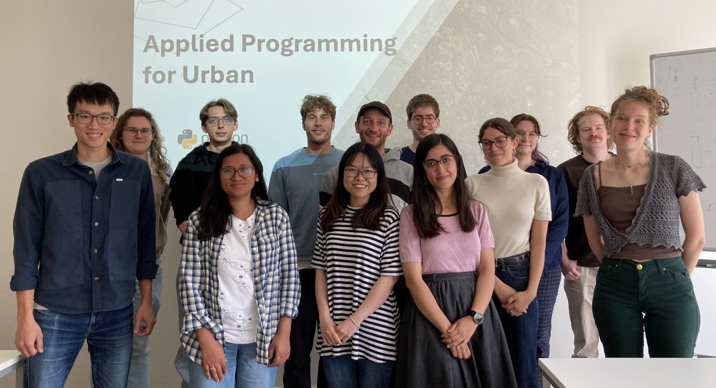
Our EAGLE students recently wrapped up the Applied Programming for Urban course by our PhD student De-Cyuan Jheng — a hands-on, advanced continuation of last semester’s Spatial Python for Remote Sensing. Building on their foundational skills, this course further deepened their understanding of Python programming in the context of GIS and remote sensing, with a clear focus on urban research applications.

The second half of the course featured three applied seminar blocks that challenged students to work with real-world data and develop analytical approaches to urban issues:

  • Urban Climate Seminar: Students explored the relationship between land surface temperature (LST) and urban morphology. By comparing various LST datasets, they identified suitable data sources and applied them to case studies in Munich and Cologne.

  • Urban Development Seminar: Focusing on global built-up surface datasets, students derived long-term indicators of urban growth. Through analysis of ten major cities across five continents, they revealed diverse trajectories and patterns of urban expansion.

  • Urban Human Activity Seminar: Applying natural language processing (NLP) techniques to social media data, students investigated social dynamics in Lagos. This approach provided a complementary perspective to Earth observation data, shedding light on how residents engage with different urban spaces.

Throughout the course, students went beyond passive learning. They led individual sections of the seminars, explaining technical methods and demonstrating their application. This not only enhanced their technical proficiency but also strengthened their ability to communicate complex geospatial concepts in a meaningful, real-world context.

follow us and share it on:

you may also like:

DBU scholar Josipa Subotic

DBU scholar Josipa Subotic

Almost a year ago, Josipa Subotic showed up at EORC as a DBU scholar, and now her stay with us is coming to an end. Josipa spent her time digging into snow cover properties around the Zugspitze, working with Sentinel-2 time series data. Multispectral imagery, lots of...

GLS-team visits Planetary Health exhibition

GLS-team visits Planetary Health exhibition

One of the aims of Geolingual Studies Geolingual Studies - Geolingual Studies is to ensure effective science communication beyond the scientific community and into the wider society. The Geolingual Studies team was given the opportunity to look at concepts and methods...

University press covered our anniversaries

University press covered our anniversaries

Einblick, the University of Würzburg's press medium, published an article on our double anniversary, 25 years of Earth observation research and 10 years of EAGLE M.Sc. program, today. Recently, they has visited us at our EORC to hear about our research and teaching...

Mapping Lava Tubes on Mauritius with iPhone Pro LiDAR

Mapping Lava Tubes on Mauritius with iPhone Pro LiDAR

Lava tube structures on Mauritius are quite hard to survey - tight, dark, and largely inaccessible to classical scanning equipment. As part of ongoing research by Dr. Kim Lea Holzmann (Chair of Animal Ecology and Tropical Biology, University of Würzburg), we're...

Johannes Mast wins Bernd Rendel Prize

Johannes Mast wins Bernd Rendel Prize

Johannes Mast is awarded the 2026 Bernd Rendel Prize for Geosciences by the Deutsche Forschungsgemeinschaft (DFG) for outstanding research as part of his dissertation. Johannes’s highly interdisciplinary work bridges the Geosciences, Linguistics, Data Science, and...

Privacy Policy

Lehrstuhl für Fernerkundung & Lehrstuhl für Urbane Fernerkundung

Erdbeobachtung an der Universität Würzburg

Share This