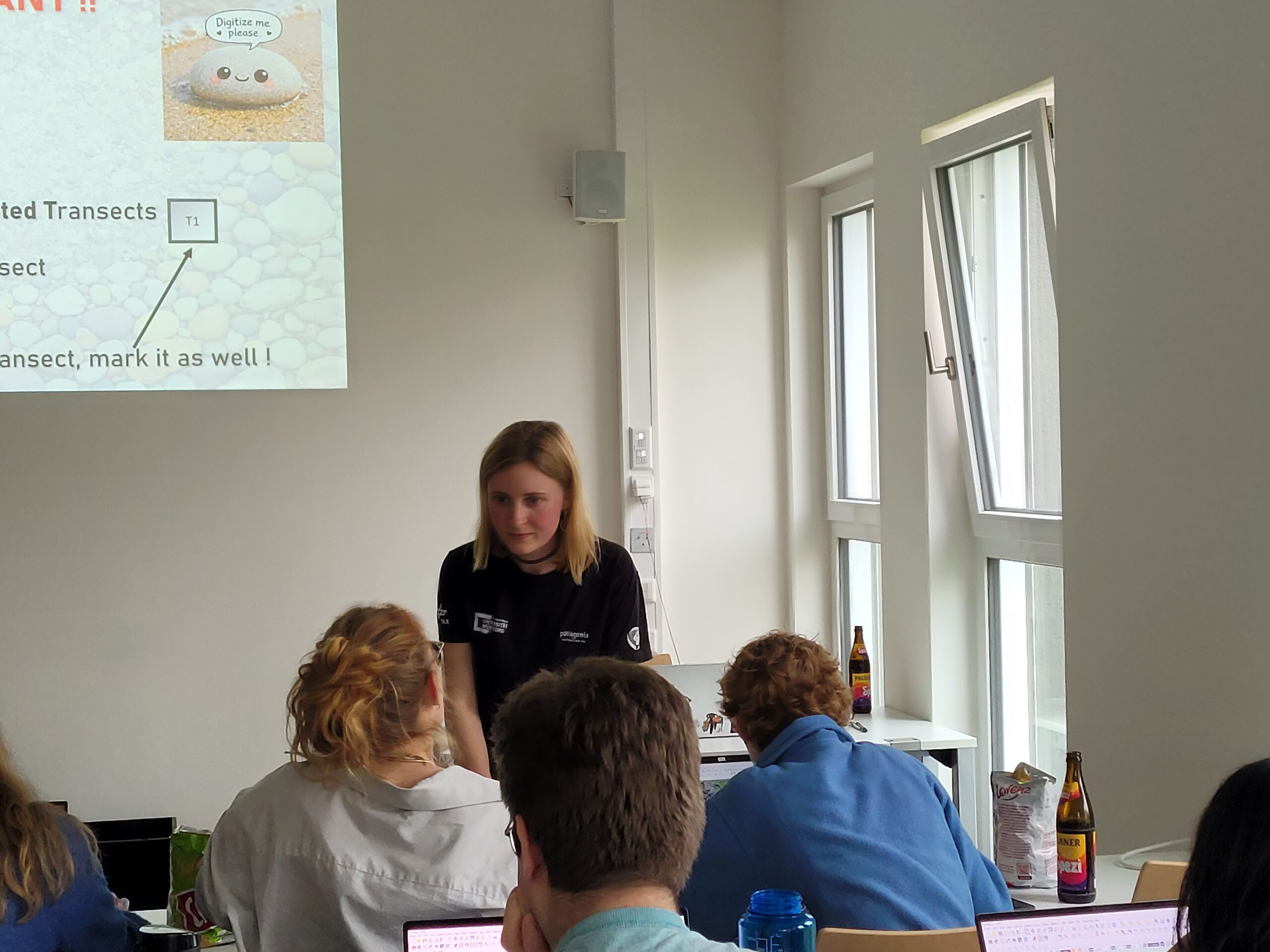

Generating validation data for machine-learning-based segmentation outputs remains a major challenge and requires substantial manual effort. To support the Master thesis of Leonie Sonntag, 17 EAGLE students and PhD researchers participated in a joint mapathon initiative. The thesis, carried out within the FluBig project, investigates the estimation of grainsize along the Naryn River in Kyrgyzstan using UAV and satellite imagery.
As part of this team effort, individual pebbles were manually delineated from millimetre-resolution UAV imagery to create high-quality reference data for the validation of a deep-learning segmentation model. The model is applied to more than 20,000 image tiles and provides the basis for a machine-learning regression used to predict grain size from Sentinel-2 data.
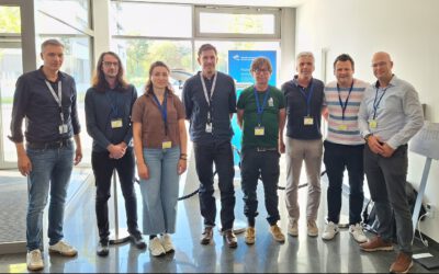
The initiative also highlighted the strong collaborative culture within the EORC. The willingness of students and researchers to contribute collectively to a demanding scientific task demonstrates the department’s strong team spirit and shared commitment to supporting innovative research.
This approach represents a significant advance towards network-scale analyses of the (bio-)geomorphic dynamics of river systems.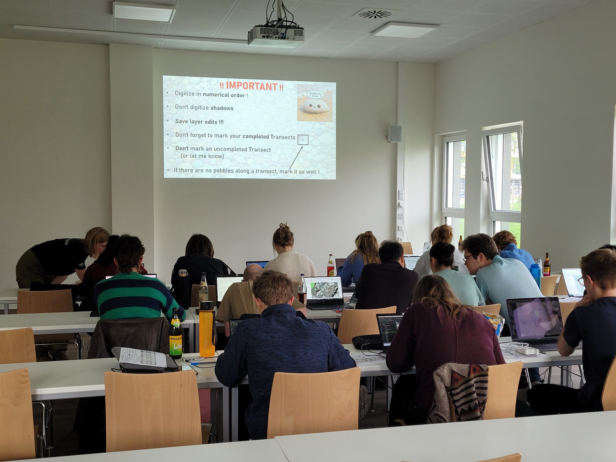
As part of this team effort, individual pebbles were manually delineated from millimetre-resolution UAV imagery to create high-quality reference data for the validation of a deep-learning segmentation model. The model is applied to more than 20,000 image tiles and provides the basis for a machine-learning regression used to predict grain size from Sentinel-2 data.
The initiative also highlighted the strong collaborative culture within the EORC. The willingness of students and researchers to contribute collectively to a demanding scientific task demonstrates the department’s strong team spirit and shared commitment to supporting innovative research.
This approach represents a significant advance towards network-scale analyses of the (bio-)geomorphic dynamics of river systems.