MSc handed in on object-oriented classification of historical maps for ecosystem services

MSc handed in on object-oriented classification of historical maps for ecosystem services

May 4, 2016

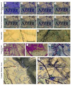
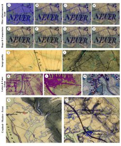
Yrneh_Ulloa_MSc_GCE_2016Yrneh Ulloa handed in her MSc “Land change in the Main catchment with an Object Based approach using eCognition” which dealt with classifying landcover in historical maps (1810+) automatically using object oriented approaches.

The monitoring of land cover and land use change is critical for assessing the provision of ecosystem services. One of the sources for land change quantification is through the classification of historical and/or current maps. This study applied an object based classification using eCognition for analysing the land change in the Main river catchment, Upper Franconia, Germany. It was done in two time steps, 1850s and 1990s. The method has proven useful for the application on historical maps due to the creation of semantic objects. Since the early time step forest and urban areas have expanded while agricultural areas have been reduced due to a shift in agricultural policies. As little research has been done on historical maps using object-based approaches, there is an opportunity to develop methods to assess ecosystem services in the past and present.

you may also like:

our research covered by television

our research covered by television

At the opening of the CAIDAS we also had the opportunity to present our research and development work to various media representatives. For example, we reported on our remote sensing work to ARD and Bayerischer Rundfunk as well as for Mainfranken TV - see e.g. here...

Our research introduced to the JMU president Pauli

Our research introduced to the JMU president Pauli

At the Center for Artificial Intelligence and Data Science (CAIDAS) opening last Friday on 18th of April 2024, we had the opportunity to present the research of our Earth Observation Research Cluster (EORC) and of the Earth Observation Center (EOC) of the German...

UAS mission of monastery Bronnbach

UAS mission of monastery Bronnbach

The potential of UAS data for mapping cultural heritage sites was discussed in the past months with colleagues associated with the UNESCO world heritage activities by our postdocs Dr. Mirjana Bevanda and Dr. Sarah Schönbrodt-Stitt. Based on these discussions further...

Internship Report on Tuesday, April 30 at 14:00

Internship Report on Tuesday, April 30 at 14:00

On Tuesday, April 30 Konstantin Müller will present his internship " GDELT News Analysis of the Noto Earthquake via ERNIE" at 14:00 in 01.B.03, John-Skilton-Str. 4a. : From the abstract: The analysis of socioeconomic data has gained increasing importance. The exchange...