Publication by our students on remote sensing training

Publication by our students on remote sensing training

September 20, 2016

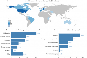
rse227-fig-0002_AsjaBernd_RemoteSensing_Ecology_ConservationWe are very proud that some of our former M.Sc. students published a peer-reviewed article about the importance of remote sensing training approaches “More than counting pixels – perspectives on the importance of remote sensing training in ecology and conservation”.

From the abstract:

As remote sensing (RS) applications and resources continue to expand, their importance for ecology and conservation increases – and so does the need for effective and successful training of professionals working in those fields. Methodological and applied courses often form part of university curricula, but their practical and long-term benefits only become clear afterwards. Having recently received such training in an interdisciplinary master’s programme, we provide our perspectives on our shared education. Through an online survey we include experiences of students and professionals in different fields. Most participants perceive their RS education as useful for their career, but express a need for more training at university level. Hands-on projects are considered the most effective learning method. Besides methodological knowledge, soft skills are clear gains, including problem solving, self-learning and finding individual solutions, and the ability to work in interdisciplinary teams. The largest identified gaps in current RS training concern the application regarding policy making, methodology and conservation. To successfully prepare students for a career, study programmes need to provide RS courses based on state-of-the-art methods, including programming, and interdisciplinary projects linking research and practice supported by a sound technical background.

Bernd, A., Braun, D., Ortmann, A., Ulloa-Torrealba, Y. Z., Wohlfart, C., Bell, A. (2016), More than counting pixels – perspectives on the importance of remote sensing training in ecology and conservation. Remote Sensing in Ecology and Conservation. doi: 10.1002/rse2.27

http://onlinelibrary.wiley.com/wol1/doi/10.1002/rse2.27/full

you may also like:

Our research site and project covered by BR

Our research site and project covered by BR

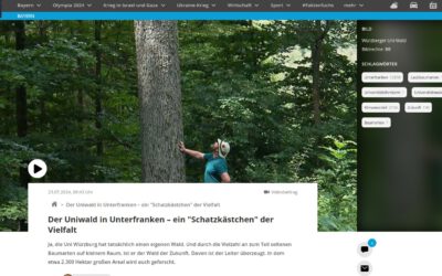
The University forest at Sailershausen is a unique forest owned by the University of Wuerzburg. It comes with a high diversity of trees and most important is part of various research projects. We conducted various UAS/UAV/drone flights with Lidar, multispectral and...

Meeting of the FluBig Project Team

Meeting of the FluBig Project Team

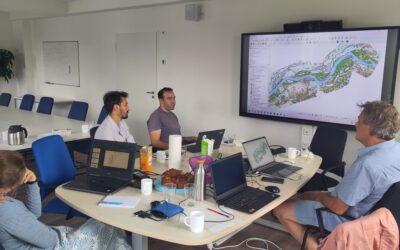
During the last two days, the team of the FluBig project (remote-sensing.org/new-dfg-project-on-fluvial-research/) met at the EORC for discussing the ongoing work on fluvial biogeomorphology. After returning from a successful field expedition to Kyrgyzstan a couple of...

‘Super Test Site Würzburg’ project meeting

‘Super Test Site Würzburg’ project meeting

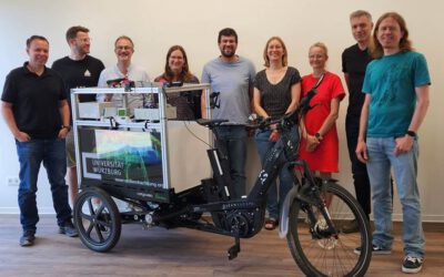
After the successful "Super Test Site Würzburg" measurement campaign in June (please see here: https://remote-sensing.org/super-test-site-wurzburg-from-the-idea-to-realization/ ), the core team from the University of Würzburg, the Karlsruhe Institute of Technology,...

EORC Talk: Geolingual Studies: A New Research Direction

EORC Talk: Geolingual Studies: A New Research Direction

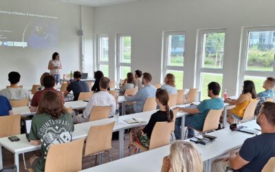
On July 19th, Lisa Lehnen and Richard Lemoine Rodríguez, two postdoctoral researchers of the Geolingual Studies project, gave an inspiring presentation at the EORC talk series.   In the talk titled "Geolingual Studies – a new research direction", they...

EO support for UrbanPArt field work

EO support for UrbanPArt field work

From May to September, Karla Wenner, a PhD student at the Juniorprofessorship for Applied Biodiversity Science, will be sampling urban green spaces and semi-natural grasslands in Würzburg as part of the UrbanPArt project. Our cargo bikes support the research project...

Cinematic drone shots

Cinematic drone shots

We spend quite some time in the field conducting field work, from lidar measurements to vegetation samples in order to correlate it with remote sensing data to answer various research questions concerning global change. Field work is always a 24/7 work load and...