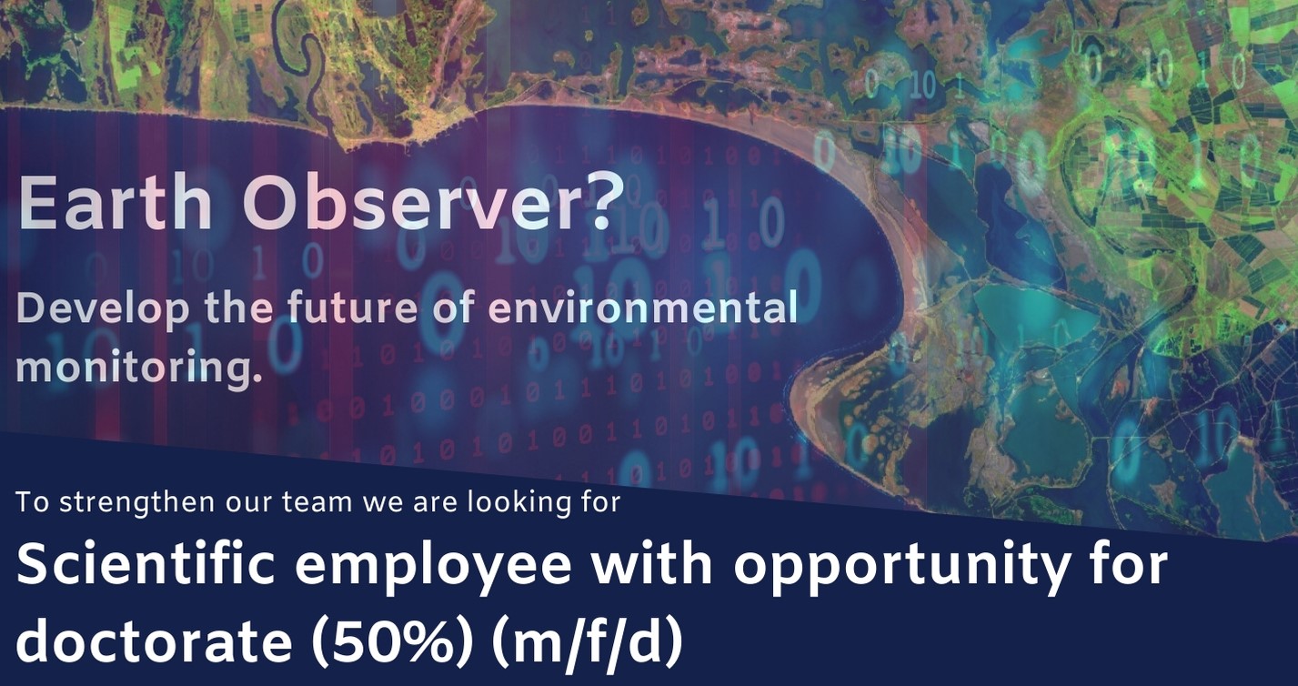
We are looking for a new staff member who is interested in an interdisciplinary project on the use of remote sensing technologies for crop production monitoring. This remote sensing science position (50% TVL) comes with the opportunity to pursue a PhD starting in February.
Project Descriptions:
The project is integrated in an inter-disciplinary project on the digital transformation in the farming sector. Different disciplines are working on the experimental field in Northern Germany to foster the use of state of the art Earth Observation techniques in the farming practice. Your remites are:
- Analysis of multi-scale EO data on crop health, phenology or climate impact research.
- GIS data and satellite data management in a multi-disciplinary project team with a focus on digital agriculture monitoring.
- developing analyses ready data (ARD) workflows for optical and SAR satellite data and UAV data within the Data Cube infrastructure
- use of innovative satellite data infrastructures (Open Data Cube) in the field of digitalization and agriculture.
Your Profile:
- You have sound experience in dealing with satellite data, in particular SAR data and optical satellite data.
- You have experience in working with GIS and Remote Sensing
- You have knowledge in programming languages like Python, R or Java Script and are motivated to develop yourself further
- You like to work in an international and multi-disciplinary project
- You have a M.Sc. degree in environmental science (preferably geography, geoinformatics, or computer science)
- you are interested to deepen your knowledge of cloud-based software solutions.
- you are interested to implement the Open Data Cube
- you are interested in teaching and help to organize trainings on the use of Earth Observation Data Cubes.
We offer you:
- New exciting challenges of future-oriented topics in a creative team-oriented environment at the Remote Sensing Department of the University of Würzburg.
- You benefit from an extensive scientific network and the close connection to the German Aerospace Center (DLR).
- We offer a 50% position and a close scientific mentoring to advance your academic career. You have the opportunity to write a doctoral thesis within the framework of this activity.
Apply with your complete application documents by e-mail to:
christian.huettich@uni-wuerzburg.de
Further Information:
Web: https://remote-sensing.org
Phone: +49 (0) 931 31 82583

