new B.Sc. thesis: UAV-based cemetery map
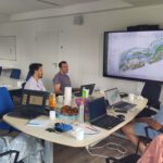
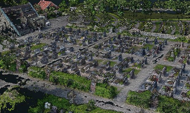
Florian Baumgartner started his B.Sc. thesis titled “Object-oriented derivation of a digital cemetery plan from very high resolution aerial imagery – a case study for the municipality of Kürnach”. The aim of his thesis is to derive a high-resolution UAV-based graveyard map that can be used by the municipality for further planning within the cemetery administration.
Read More