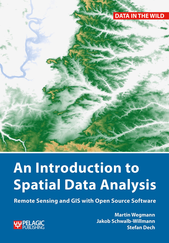
Our book is available for pre-order!
Order today at pelagicpublishing.com and save 30% in price!
Activate the special offer during checkout using the discount code SPATIAL30.
more details about this book here: http://book.ecosens.org/gsbook/


Our book is available for pre-order!
Order today at pelagicpublishing.com and save 30% in price!
Activate the special offer during checkout using the discount code SPATIAL30.
more details about this book here: http://book.ecosens.org/gsbook/
you may also like:

On July 14, the Earth Observation Research Cluster (EORC) had the pleasure of hosting a stimulating lecture by Prof. Eberhard Rothfuß from the University of Bayreuth in collaboration with Dr. Axel Prestes Dürrnagel (University of Kaiserslautern-Landau). The lecture...

We’re happy to announce that our summer BBQ is happening again on Thursday, July 24th at 4 pm! Alongside good food and a relaxed atmosphere, we’re also hosting a series of short talks highlighting exciting topics in Earth Observation and environmental science: “The...
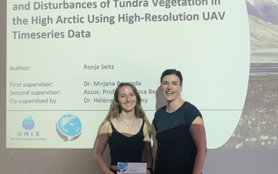
We warmly congratulate Ronja Seitz on the successful defense of her MSc thesis, which tackled one of the most pressing environmental challenges of our time: the rapid warming of the high Arctic. Her research focused on Svalbard, one of the fastest-warming regions on...
Within our EAGLE courses our students have to learn a wide variety of skills - beside the fundamental earth observation theory and practice also skills like map creation is part of the curriculum. One of our students Ronja Seitz has created three visualizations guides...
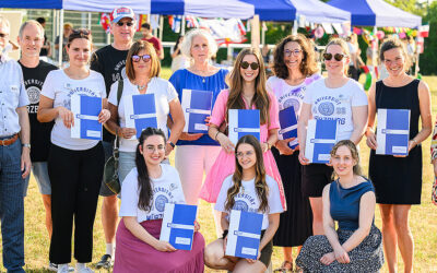
In line with its internationalization strategy, the University of Würzburg supports administrative staff in their task of advising and supporting international students, guests, and academics. To this end, it has launched the "UNIversInternational" certificate...

The "Geolingual Studies" team of the University Würzburg visited the DLR-EOC on 3 and 4 July 2025. Geolingual Studies is an innovative area of research and teaching which takes a decisively applied linguistic approach and combines methodologies from linguistics,...