 Triggered by remarks of our students we printed some Earth ObserveR stickers reflecting the amount of coding in our courses on remote sensing using R. It is a great environment for learning how to code in the spatial domain, learn classifications, data processing or plotting of remote sensing data using among others the RStoolbox R package or exploring the huge diversity of statistical functions within R and its packages for more sophisticated modelling approaches. Our students love these stickers even though they are also doing spatial data analysis in python or other software packages but went through quite some courses on remote sensing using R only.
EORC researchers teaching drone remote sensing at UNIS, Svalbard
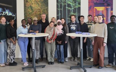
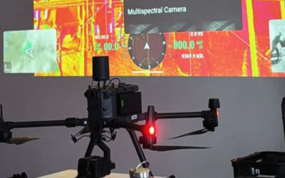
During their current visit to Svalbard, EORC researchers have been teaching UNIS students from all over Europe on how drones can be used for remote sensing in the high Arctic. Invited by our UNIS collaborators Prof. Dr. Simone Lang (UNIS) and Prof. Dr. Eero Rinne...


