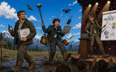
We are glad to announcing the upcoming workshop report at the Department of Remote Sensing for Wednesday, 13th June 2018.
The presentation will be about
Scientific Concept and Innovations at the Durable Multidisciplinary Monitoring Information Network (DEMMIN)
Abstract
Food security is a major challenge in many parts of the world for instance in low-income countries as well as in semi-arid and water restricted climate zones. Knowing the yield condition is of major importance for the sustainable management of agricultural lands and for sustaining food security. The challenge is to overcome existing yield gaps by using operational space-based monitoring services as provided by the Copernicus Missions. Up-to-date spatial information and maps on the ecological status of managed ecosystems provide initial data for increasing cropping yields on existing agricultural systems. Despite of limited land resources, adequate farming practices and the efficient use of water resources for irrigation are major challenges for land managers at regional scales. Up-to-data data from single climate stations as well as analyses at the local scale provide insufficient evidence for highly dynamic land management decisions.
The aim of the DEMMIM_2.0 project is to innovate the Durable Multidisciplinary Monitoring Information Network (DEMMIN) by collecting in-situ data according to international standards for agricultural landscapes in Northern Germany. In cooperation with the German Research Centre for Geosciences (GFZ) and the DLR-EOC ground segment in Neustrelitz, environmental data is recorded for more than 40 meteo-stations on the landscape level including climate data, phenology, soil information such as soil moisture, and biomass and crop yield. DEMMIN_2.0 aims at a further implementation of the measurement network in DEMMIN in the national and international scientific community, including universities, research organizations, and the industry. Within six scheduled field campaigns in 2018, a sound data timeseries of environmental parameters will be collected and made available for the international scientific community. This presentation aims at informing about the concept, the current developments in the project and future activities.
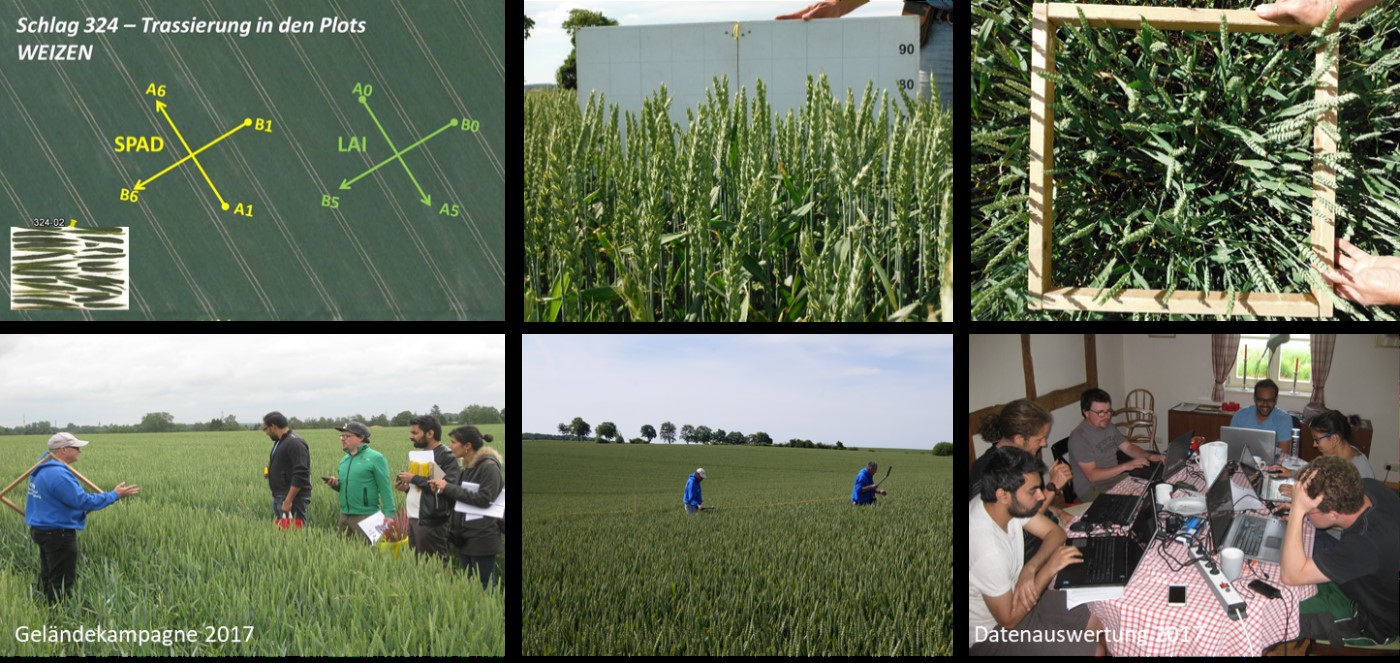
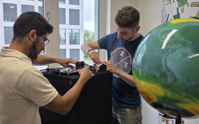
Sampling scheme and biomass sampling. Credit: C. Conrad
Presenters: Christian Hüttich, Thorsten Dahms, Nima Ahmadian, Christopher Conrad (all Department of Remote Sensing, University Würzburg), Erik Borg (German Aerospace Center (DLR-EOC), Neustrelitz), and Daniel Spengler (Research Centre for Geosciences (GFZ), Potsdam)
Date: Wednesday, 13th June 2018 Time: 10 – 10:45 am s.t. Place: Josef-Martin-Weg 52 (1), Campus Hubland Nord, Würzburg
Presentation language: English Slides: English
All interested persons are cordially invited! We are looking forward to seeing you.