
 25 young researchers and stakeholders from various Kyrgyz universities and organizations as well as a delegation from Afghanistan and Tajikistan participated into the five-day CAWa Edu Seminar “Innovative Tools for Improved Water Management in Central Asia” (October 12-17, 2018) organized by the CAWa project (Regional Research Network “Water in Central Asia”), and hosted by the Kyrgyz National Agrarian University in Bishkek, Kyrgyzstan (KNAU).
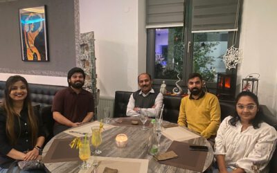
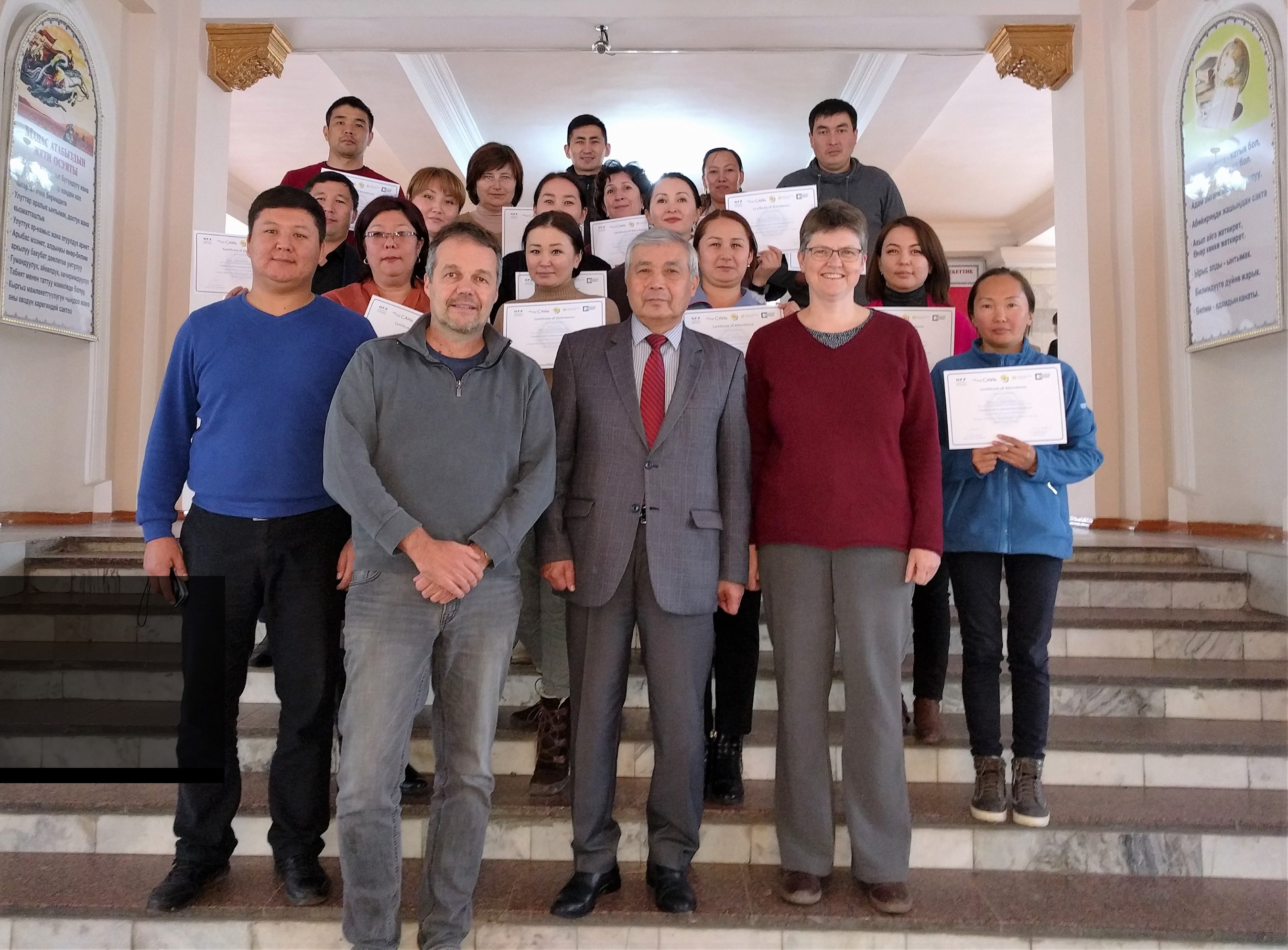
Participants and trainers (Lucia Morper-Busch and Maik Netzband) of the CAWa Edu Seminar (second part) held in the Kyrgyz National Agrarian University (KNAU) in Bishkek, Kyrgyzstan.
The CAWa Edu Seminar provided an overview of data-driven methods in the field of climatology, hydrology, and agriculture. The emphasis was on the tools’ potentials for improved decision making in the context of water resource management in Central Asia.
The Seminar also included an introduction into statistical data analysis, geospatial analysis and remote sensing and thus provided a basis for the independent application and advanced development of the presented tools.
Lucia Morper-Busch and Maik Netzband from Würzburg University, Department of Remote Sensing, responsible for the second part, addressed the topics introduction to GIS, Remote Sensing and the CAWa online tool WUEMoCA (Water Use Efficiency Monitor in Central Asia).