textbooks on remote sensing

textbooks on remote sensing

June 13, 2019

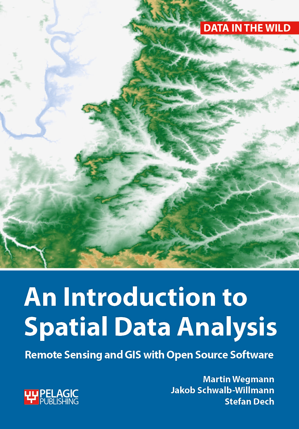
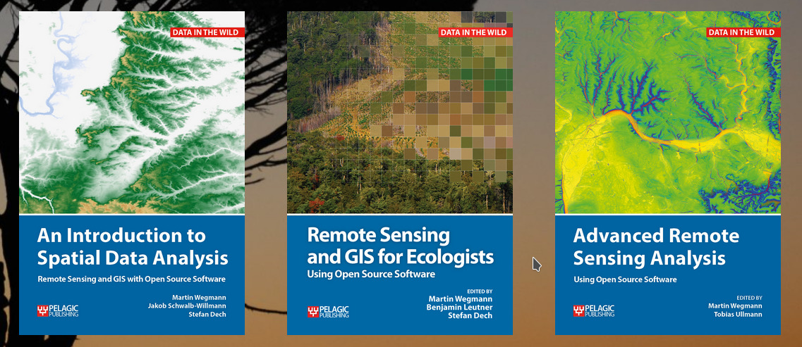
Our already published textbook on “Remote Sensing and GIS for Ecologists – using Open Source software” was very well perceived and we got very positive feedback. However, either an introduction or more advanced methods and data was asked for as well. Hence, we decided to write another book addressing the fundamentals of spatial data analysis using mainly QGIS and with just a little bit of R. And we started the advanced remote sensing book which introduces hyperspectral, radar, LiDAR, UAV and many further methods and approaches using a variety of programs such as R, python or SNAP.

These books are covering parts of our courses within our study programs and are partly written by our own staff members.

for more details please see http://book.ecosens.org
you may also like:

New publication on decoding stress in urban public spaces

New publication on decoding stress in urban public spaces

Researchers from the Karlsruhe Institute of Technology (KIT), the Earth Observation Center (EOC) of the German Aerospace Center (DLR) in Oberpfaffenhofen and our Earth Observation Research Cluster of the University of Würzburg teamed up for a study on decoding stress...

A Glimpse into Our Research: Data on Display in the Foyer

A Glimpse into Our Research: Data on Display in the Foyer

Stepping into the foyer, visitors are now greeted by large, striking images that tell the story of our research through data. Each visual represents a unique scientific perspective – from the Arctic to the cultivated landscapes of Bavaria, and from forest canopies to...

Successful MSc defense by Sonja Maas

Successful MSc defense by Sonja Maas

Big congratulations to Sonja Maas, who successfully defended her Master thesis today on the highly relevant and increasingly pressing topic: LiDAR-Based Acquisition Strategies for Forest Management Planning in a Mature Beech Stand Supervised by Dr. Julian Fäth and...

New publication on bottom-up building exposure modeling

New publication on bottom-up building exposure modeling

Researchers from the German Remote Sensing Data Center (DFD) of the German Aerospace Center (DLR), the Department of Geography of the Rheinische Friedrich-Wilhelms-University in Bonn and our Earth Observation Research Cluster (EORC) of the...