A remote sensing and GIS training for professional development aid staff members was conducted last month. Within 5 days the participants learned the basics of spatial data handling, creating maps, acquiring remote sensing data and earth observation products up to doing first steps in GoogleEarthEngine. The practical desktop exercises were done using QGIS and its powerful expression functions and geometry generators. Despite the challenging situation did we receive quite positive feedback about our virtual training but of course we are looking forward to do in-person trainings again once the are allowed.
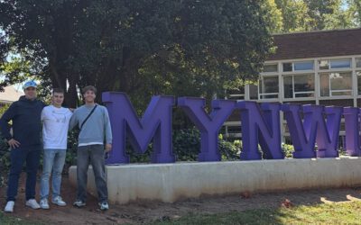
From Kruger to Potchefstroom: Reconnecting with South African EAGLE
After completing their internship in Kruger National Park, EAGLE students Sebastian and Clemens were not quite ready to leave South Africa behind. Instead of heading straight home, they reunited with their South African EAGLE friend, Charl Strydom, for a road trip...