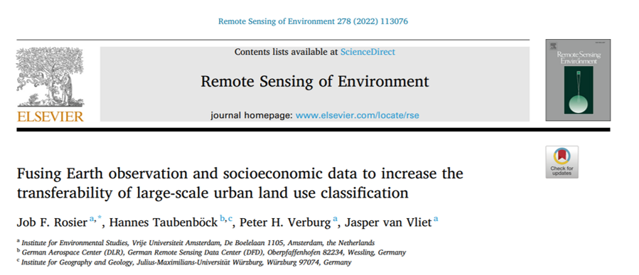
Hannes Taubenboeck and colleagues published the article “Fusing Earth observation and socioeconomic data to increase the transferability of large-scale urban land use classification.” in Remote Sensing of Environment. From the abstract: “Monitoring and understanding urban development requires up-to-date information on multiple urban land-use classes. Manual classification and deep learning approaches based on very-high resolution imagery have been applied successfully, but the required resources limits their capacity to map urban land use at larger scales. Here, we use a combination of open-source satellite imagery, constituting of data from Sentinel-1 and Sentinel-2, and socioeconomic data, constituting of points-of-interest and spatial metrics from road networks to classify urban land-use at a national scale, using a deep learning approach. A related challenge for large-scale mapping is the availability of ground truth data. Therefore, we focus our analysis on the transferability of our classification approach, using ground truth labels from a nationwide land-use dataset for the Netherlands. By dividing the country into four regions, we tested whether a combination of satellite data and socioeconomic data increases the transferability of the classification approach, compared to using satellite data only. The results indicate that socioeconomic data increases the overall accuracy of the classification for the Netherlands by 3 percentage points. In a transfer learning approach we find that adding socioeconomic data increases the accuracy between 3 and 5 percentage points when trained on three regions and tested on the independent fourth one. In the case of training and testing on one region and testing on another, the increase in overall accuracy increased up to 9 percentage points. In addition, we find that our deep learning approach consistently outperforms a random forest model, used here as benchmark, in all of the abovementioned experiments. Overall, we find that socioeconomic data increases the accuracy of urban land use classification, but variations between experiments are large.”
read the full article here:
--

