cooperative project with DLR ZKI

cooperative project with DLR ZKI

m

April 29, 2024

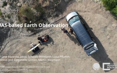
In cooperation with the DLR ZKI did we conduct drone flights last week using Lidar and oblique sensors in order to provide valuable landscape information for autonomous vehicle navigation. Within the project the feasibility to map unknown areas and its accessibility for rapid response and humanitarian aid using UAS borne sensors is analysed.
The data will now be processed and shared with our colleagues from ZKI for navigating the SHERP system through different terrains. Currently the approach is tested within Germany but of course it is planned to transfer such approaches to areas where actual humanitarian aid is required.

you may also like:

High Arctic field work in Bjørndalen (Svalbard)

High Arctic field work in Bjørndalen (Svalbard)

Last week, EORC employees Jakob Schwalb-Willmann and Sebastian Buchelt travelled to Longyearbyen, Svalbard, for a two-week research and teaching stay on the high-arctic island. Invited by our collaborators and colleagues Assoc. Prof. Larissa Beumer...

Presentation at ESA Advanced Training Course

Presentation at ESA Advanced Training Course

At the 14th Advanced Training Course on Land Remote Sensing – Agriculture, held from 29 September to 3 October in Thessaloniki, researchers, early-career scientists, and experts from across Europe gathered to exchange knowledge on the latest advances in remote sensing...