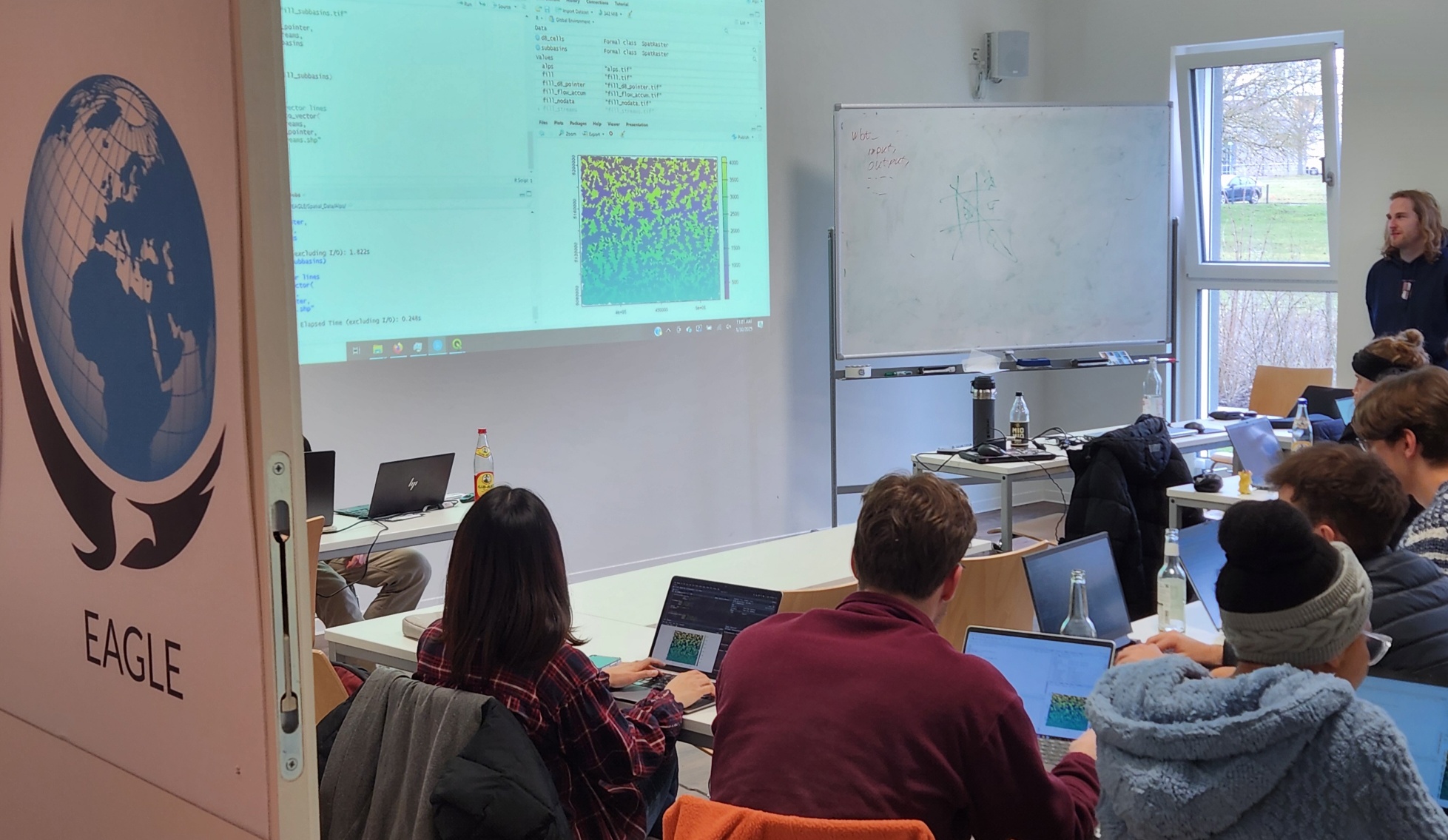
Within the EAGLE M.Sc. program our Earth Observation students have managed to understand some important scientific approaches within just the first term of their studies. Integrating and working with several environments simultaneously is a critical tasks for their future EO career. They have successfully integrated R programming with Whitebox Tools to perform advanced geomorphological, georisk or hydrological analyses. This accomplishment showcases the rapid progression of our students and the effectiveness of our curriculum in equipping them with cutting-edge geospatial analysis skills.
R is a powerful statistical programming language widely used for data analysis, visualization, and geospatial processing. Whitebox Tools, on the other hand, is an advanced open-source geospatial analysis software specifically designed for terrain and hydrological modeling. By combining these tools, our students are able to perform complex spatial analyses with efficiency and precision.
Through hands-on learning and applied coursework, our students have utilized R and Whitebox Tools for various geomorphological and hydrological studies, including analysis such as Terrain Analysis for extracting key landform features, e.g. slope, or stream Network Extraction for identifying hydrological pathways, watershed delineation, or catchment analysis.
Our curriculum emphasizes practical learning through lab sessions, real-world case studies, and collaborative projects. By working with real datasets and conducting in-depth spatial analysis, students gain not only theoretical knowledge but also practical expertise in handling geospatial data with R and Whitebox Tools beside all the other relevant tools such as Python, SAGA, GRASS, QGIS, SNAP, ….
The early success of our students demonstrates their enthusiasm and adaptability in applying computational methods to Earth sciences. As they continue their journey, they will delve deeper into advanced spatial modeling, remote sensing integration, and machine learning applications in geospatial analysis within their second term.

