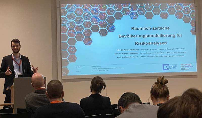
In February the Federal Office of Civil Protection and Disaster Assistance organized the Fachkongress “Forschung für den Bevölkerungsschutz” (Congress for Research in Civil Protection) in the World Conference Centre in Bonn. Peter Priesmeier presented parts of his PhD work about “Spatio-Temporal Population Modelling for Risk Analyses” and showed first prototypic results. The participatory form of presentation allowed for extensive expert feedback which will be used to fine tune the next development steps.
Here is the abstract of the contribution: In many risk analyses, spatial population data is the cornerstone for determining exposure (e.g. number of people affected) and social vulnerability (e.g. proportion of older people). Usually static data (e.g. census) is used which does not take into account that the urban population is highly mobile and moves throughout the day. This can lead to severe under/overestimation of risks. The aim is therefore to develop a model that maps these spatio-temporal dynamics of urban population and creates several population maps for different times of day instead of one static map. It will be based solely on publicly available data which enables a transfer to all German major cities. The plan is, to make the results publicly available to provide the opportunity to upscale from static to dynamic urban risk analyses and to provide dynamic population data to first responders to improve the estimation of affected people during disasters.
Here is the link to the program: https://irp.cdn-website.com/8f78360a/files/uploaded/Kongressprogramm_Forschung_f%C3%BCr_den_Bev%C3%B6lkerungsschutz_mit_Lageplan_ohne_WLan_%C3%BCberarbeitet.pdf
Peter Priesmeier is pursuing his PhD here at the Julius-Maximilians-University under the supervision of Prof Roland Baumhauer, Prof Hannes Taubenböck and Prof Alexander Fekete from the TH Köln – University of Applied Science.

