PhD defense by Gerald Forkuor “Agricultural Land Use Mapping in West Africa Using Multi-sensor Satellite Imagery”

PhD defense by Gerald Forkuor “Agricultural Land Use Mapping in West Africa Using Multi-sensor Satellite Imagery”

January 15, 2015

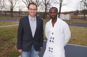
Gerald Forkuor after his defence

Gerald Forkuor with his supervisor Prof. Christopher Conrad

On January 14 2015 Gerald Forkuor defended his PhD on remote sensing for crop mapping in West Africa successfully – congratulations!
He is currently working at the International Water Management Institute in Ghana in a related topic of remote sensing.

The PhD dissertation is available under https://opus.uni-wuerzburg.de/files/10868/Thesis_Gerald_Forkuor_2014.pdf
 

you may also like:

Spatial R Packages Showcase by our EAGLE students

Spatial R Packages Showcase by our EAGLE students

We are very proud to share the diverse submissions of spatial R packages within the EAGLE M.Sc. course of Ariane Droin and Martin Wegmann aiming at advancing our students' knowlege about programming for environmental analysis, geospatial visualization, and ecological...

NetCDA acitivities at EGU

NetCDA acitivities at EGU

We had a wonderful day yesterday at the EGU with NetCDA. We were pleasantly surprised by the great interest in climate-related capacity development activities in Africa. Throughout the day, we engaged in enriching discussions with many inspiring colleagues from a wide...