


New publication led by our EORC team member Daniel Gruschwitz, together with colleagues from the European Commission (Joint Research Centre (JRC) and Agriculture & Rural Development (DG AGRI)) in the journal “Remote Sensing Applications: Society and Environment”.
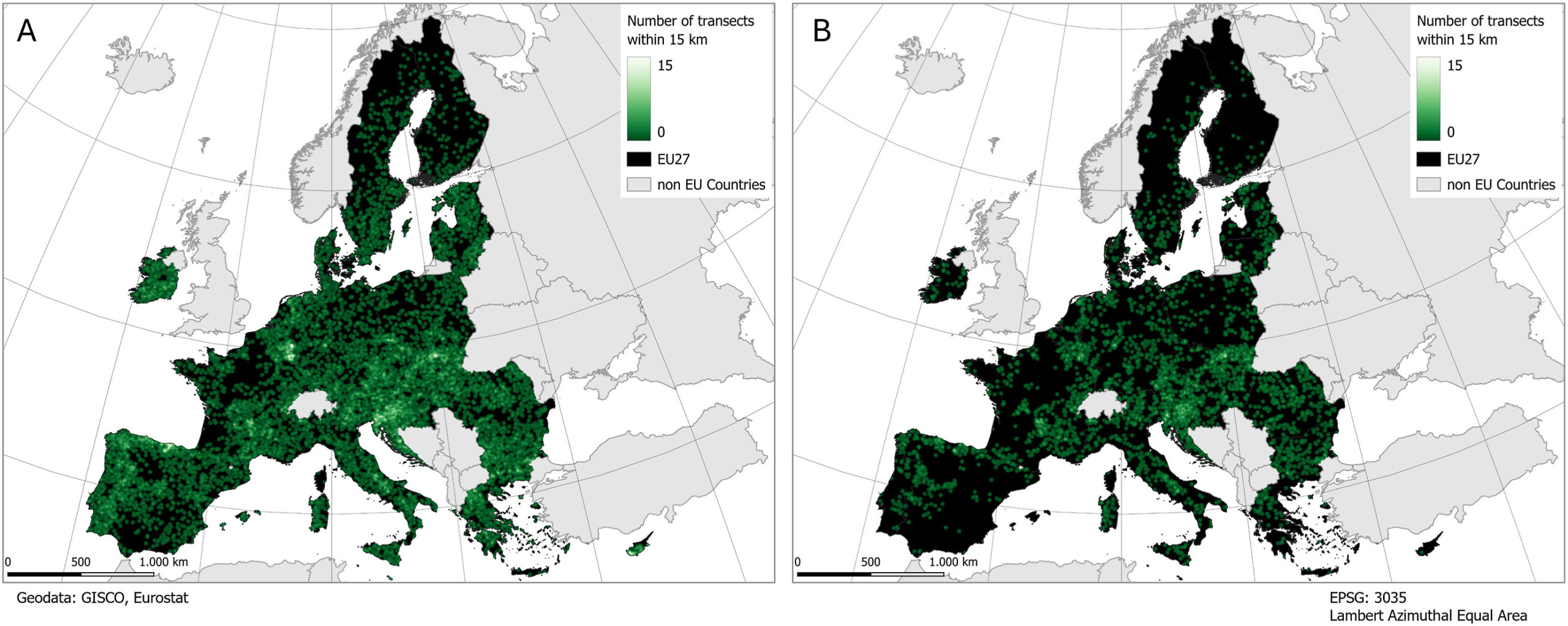
Abstract: Quantifying grassland biomass is essential for monitoring forage availability in livestock-based agricultural systems and for supporting sustainable land management and policy decisions across Europe. Remote sensing offers extensive capabilities for monitoring grasslands, but the lack of adequate in-situ data for training and validation constrains the evaluation of regression models at a continental scale. The dedicated grassland module in the 2022/23 rollout of the Land Use/Cover Area frame Survey (LUCAS) constitutes a unique, large-scale and geographically comprehensive data source covering the European Union (EU). This study investigates the suitability of the LUCAS variables average grass height and vigour of vegetation for remote sensing-based analysis by conducting machine learning regression and classification on more than 4000 transects with a cloud-free Sentinel-2 scene available. The EU-wide grass height Support Vector Regression model, based on Sentinel-2 bands and vegetation indices, delivers a root mean square error (RMSE) of approximately 19 cm and an R2 of 0.25. Predicting the height of tall grassland presents greater challenges due to increased saturation of vegetation indices and the onset of plant senescence. The vigour of vegetation – a visual assessment on an ordinal scale – only allows for classification analysis that leads to frequent misclassification despite class aggregation. In conclusion, the average grass height is the preferred variable within the LUCAS database for biomass-related and remote sensing-based modelling. Rigorous filtering using ground images and metadata is strongly recommended to account for the environmental and management heterogeneity across the EU.
Highlights
•Limited agreement between Sentinel-2 data and LUCAS vigour of vegetation.
•More than 4000 transects with a fitting cloud-free Sentinel-2 image across the EU.
•Weak linear correlation between Sentinel-2 vegetation indices and grass height.
•Tall grass heights and strong variation complicate grass height regression.
•Index saturation, varying phenology and grassland type heterogeneity are main challenges.
Further Reading: 10.1016/j.rsase.2026.102001


