
Bridging Earth Observation and Public Health: University of Würzburg Highlights MONID-HABITRACK Project

Bridging Earth Observation and Public Health: University of Würzburg Highlights MONID-HABITRACK Project

m

May 27, 2026

At the Earth Observation Research Cluster (EORC) at the University of Würzburg, our mission is to leverage remote sensing to solve real-world challenges across diverse environments – from Arctic landscapes to African savannahs. Recently, our latest interdisciplinary effort, MONID-HABITRACK, has been featured by the University of Würzburg press, drawing attention to how we are using drone-based imaging and machine learning to tackle the growing threat of tick-borne diseases.
Tackling Vector-Borne Diseases with Precision
As climate patterns shift, diseases like Tick-Borne Encephalitis (TBE) and Lyme borreliosis are becoming an increasing concern in Germany. Traditional models for pandemic preparedness often focus on human-to-human transmission, leaving a critical gap in how we track and predict diseases spread by environmental vectors like ticks.
MONID-HABITRACK (Habitat Prediction and Surveillance of Tick-borne Diseases using Modelling and Imaging Technology) is designed to bridge this gap. By integrating high-resolution drone-based remote sensing, epidemiological data, and AI-driven predictive modelling, we are creating a pipeline to identify high-risk infection hotspots with unprecedented precision.
We are using UAVs (drones) to map potential tick habitats at a micro-level, capturing environmental variables that satellites might miss.
This project brings together expertise from entomology, virology, epidemiology, and geography. Our EORC team, led by Dr. Ariane Droin and Prof. Hannes Taubenböck, is working closely with the Institute of Infectious Diseases and Tropical Medicine at the LMU University Hospital Munich and other partners.
 Data-Driven Prevention:
By combining these aerial observations with weather data and serological studies, we aim to build a robust early-warning system that supports public health decision-making.
Read the Full Coverage
We are proud to see this work recognized for its potential to improve pandemic preparedness and local disease dynamics. You can read the official press release from the University of Würzburg here:
This project underscores the vital role of Earth observation in modern society, not just in environmental conservation, but as a proactive tool for human health and safety. We look forward to sharing more updates as the project progresses in our focus regions in Bavaria.
For more information on our ongoing research and partnerships, please explore our Projects section.

follow us and share it on:

you may also like:

Successful MSc Defense by Christina Krause

Successful MSc Defense by Christina Krause

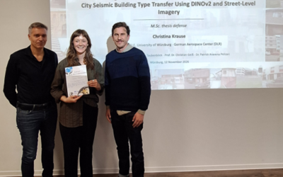
Congratulations to our EAGLE student Christina Krause, who successfully defended her MSc thesis titled "Active Learning and Parameter-Efficient Feature Adaptation for Cross-City Seismic Building Type Transfer Using DINOv2 and Street-Level Imagery" on November 12,...

Successful MSc Defense by Marlene Bauer

Successful MSc Defense by Marlene Bauer

Congratulations to our EAGLE student Marlene Bauer, who successfully defended her MSc thesis titled "Robust and Uncertainty-Aware Informal Settlement Mapping – Cross-City Generalisation Across Diverse Urban Morphologies Using High-Resolution Satellite Imagery in...

Help Us Understand Ticks: Join the MONID HABITRACK Study

Help Us Understand Ticks: Join the MONID HABITRACK Study

Lyme borreliosis and tick-borne encephalitis (TBE) are the most common tick-borne diseases in Germany, and they are becoming more relevant. Many infections go unnoticed because they cause mild symptoms or none at all. The MONID HABITRACK project, funded by the BMFTR,...

Setting Up for the 2nd EO4CAM Nutzerworkshop

Setting Up for the 2nd EO4CAM Nutzerworkshop

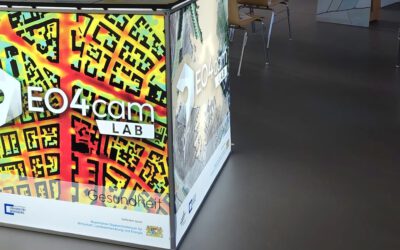
Right now our staff are busy hauling cases, mounting displays and testing every cable for the 2nd EO4CAM Nutzerworkshop, “Erdbeobachtung für die Klimaanpassung, behördliche Akteure in Bayern”. The doors open tomorrow, and the exhibition...

A dashboard for multi-UAS thermal data

A dashboard for multi-UAS thermal data

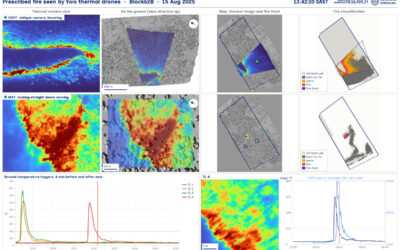
Mapping an active fire with various drones flying in parallel is hard enough. But getting the data processed, evaluated and turned into research datasets is a different story. The publication is on its way, and for now we’d like to share a dashboard by Antonio José...

bzgl. Art. 50 Verordnung (EU) 2024/1689 (AI Act):

Überwiegend werden eigene originäre Texte und Bilder des EORC genutzt, jedoch sind einige Inhalte von blog post Texten teilweise mit Hilfe von KI überarbeitet worden und einige Bilder sind ganz mit KI erstellt, die jedoch deutlich keine photorealistische Darstellungen abbilden. Aussnahmen sind KI generierte fernerkundliche Datensätze, die explizit für Forschungszwecke mit KI erstellt wurden, hier wird aber durch den assoziierten Text der wissenschaftliche Grund der KI generierten Bilder erläutert.

Privacy Policy

Lehrstuhl für Fernerkundung & Lehrstuhl für Urbane Fernerkundung

Erdbeobachtung an der Universität Würzburg