
AniMove summerschool 2016

AniMove summerschool 2016

January 11, 2016

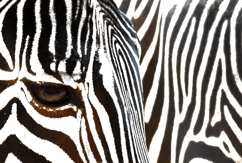
zebra_wegmannThe AniMove summerschool in 2016 takes place in Germany, Lake Konstanz at MPI-O. It is a joint activity lead by Kamran Safi from MPI-O and Martin Wegmann from the Department of Remote Sensing together with colleagues from BIK-F, Smithsonian and others.

Animal movement is critical for maintenance of ecosystem services and biodiversity. The study of complex movement patterns and of the factors that control such patterns is essential to inform conservation research and environmental management. Technological advances have greatly increased our ability to track, study, and manage animal movements. But analyzing and contextualizing vast amounts of tracking data can present scientific, computational, and technical challenges that require scientists and practitioners to master new skills from a wide range of computational disciplines.

AniMove, a collective of international researchers with extensive experience in these topics, teaches a two-week intensive training course for studying animal movement. This two-week course focuses on interdisciplinary approaches linking animal movement with environmental factors to address challenging theoretical and applied questions in conservation biology. To achieve this, participants will acquire significant skills in computational ecology, movement data pre-processing and analysis, modeling, remote sensing and Geographic Information Systems (GIS).

During Week 1, participants learn new skills through lectures and hands-on exercises in data collection, management, analysis and modeling approaches. During Week 2, participants work in alone or in small groups on projects with datasets provided by course participants or instructors. Participants are encouraged to bring their own data and research questions to be addressed by themselves or by one of the working groups.

– See more at: http://animove.org/courses/2016-mpi

follow us and share it on:

you may also like:

Setting Up for the 2nd EO4CAM Nutzerworkshop

Setting Up for the 2nd EO4CAM Nutzerworkshop

Right now our staff are busy hauling cases, mounting displays and testing every cable for the 2nd EO4CAM Nutzerworkshop, “Erdbeobachtung für die Klimaanpassung, behördliche Akteure in Bayern”. The doors open tomorrow, and the exhibition...

A dashboard for multi-UAS thermal data

A dashboard for multi-UAS thermal data

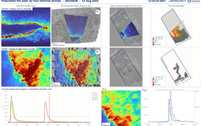
Mapping an active fire with various drones flying in parallel is hard enough. But getting the data processed, evaluated and turned into research datasets is a different story. The publication is on its way, and for now we’d like to share a dashboard by Antonio José...

Have you ever wondered how many trees there are on our campus?

Have you ever wondered how many trees there are on our campus?

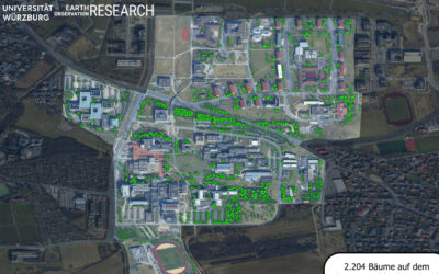
Sometimes a chat during a formal event like the one for the Urban:Pulse funding celebration, results in something totally different. Following a discussion with the vice-president of our University, we promised to look into the research by one of our PhD students...

Earth Observation at the DFG BETAFOR workshop

Earth Observation at the DFG BETAFOR workshop

Jakob Schwalb-Willmann represented our team at the DFG BETAFOR workshop in the Bavarian Forest National Park. The room was full of biologists, which is the whole point of an interdisciplinary project, and our UAS multisensor time series drew a lot of interest from the...

Thermal Drone Data Acquisitions: CalVal project with Informatics

Thermal Drone Data Acquisitions: CalVal project with Informatics

Thermal cameras on drones look very good - visually. They show us temperature of our study objects be it stressed trees, warm patches in a city or active fires. But we do not yet know for sure how far we can trust the temperature values they deliver especially when...

bzgl. Art. 50 Verordnung (EU) 2024/1689 (AI Act):

Überwiegend werden eigene originäre Texte und Bilder des EORC genutzt, jedoch sind einige Inhalte von blog post Texten teilweise mit Hilfe von KI überarbeitet worden und einige Bilder sind ganz mit KI erstellt, die jedoch deutlich keine photorealistische Darstellungen abbilden. Aussnahmen sind KI generierte fernerkundliche Datensätze, die explizit für Forschungszwecke mit KI erstellt wurden, hier wird aber durch den assoziierten Text der wissenschaftliche Grund der KI generierten Bilder erläutert.

Share This