
Applied Remote Sensing: Bridging Classroom Tools with Real‑World Data

Applied Remote Sensing: Bridging Classroom Tools with Real‑World Data

January 28, 2026

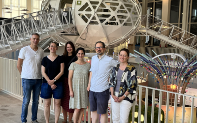
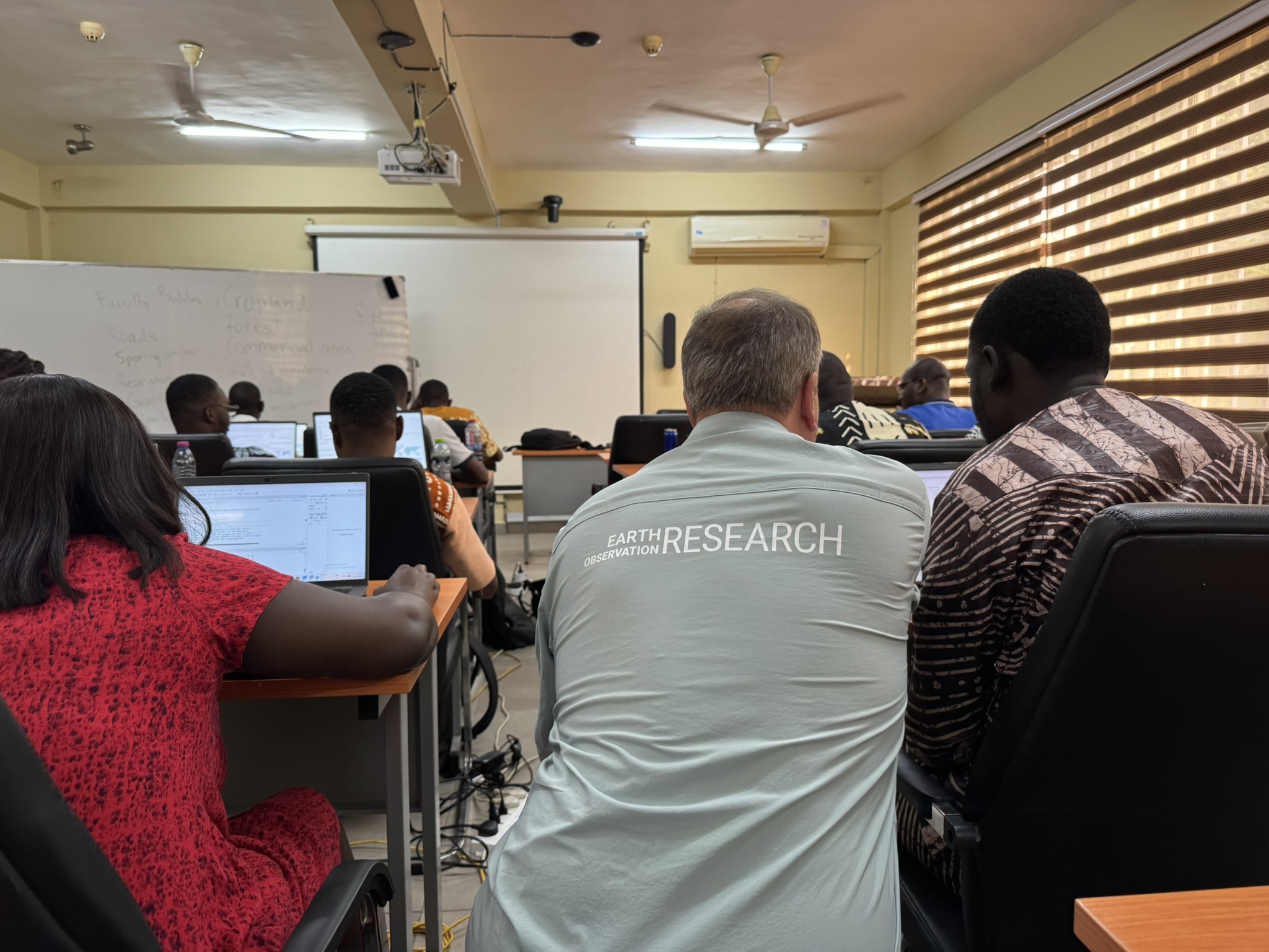
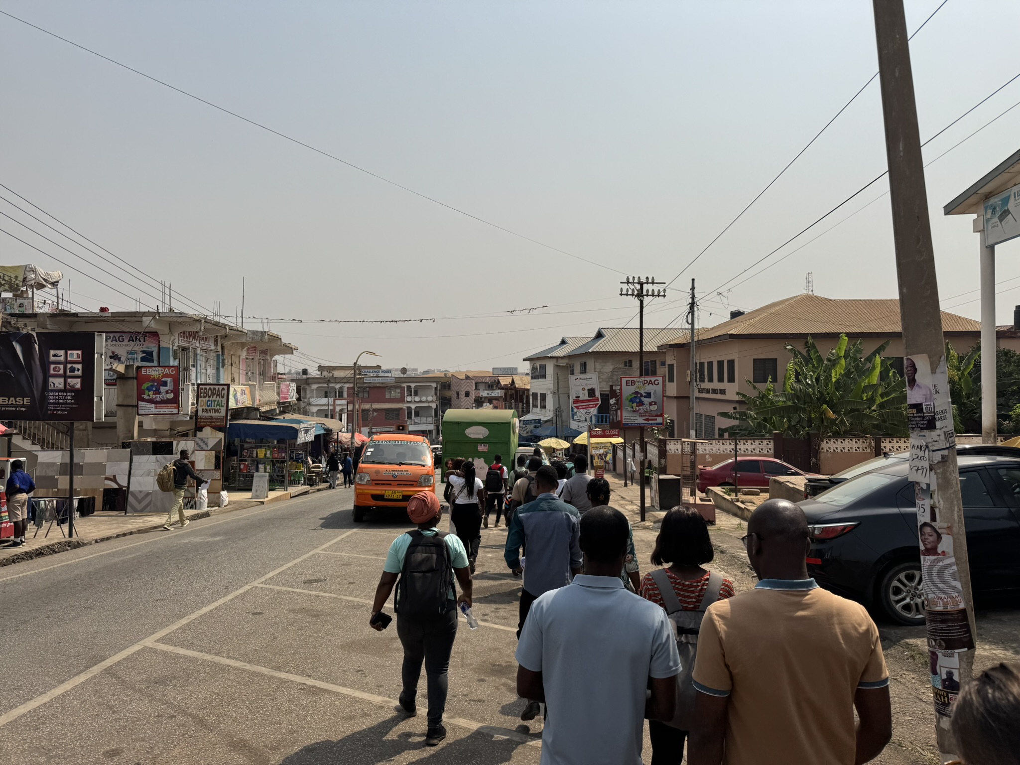
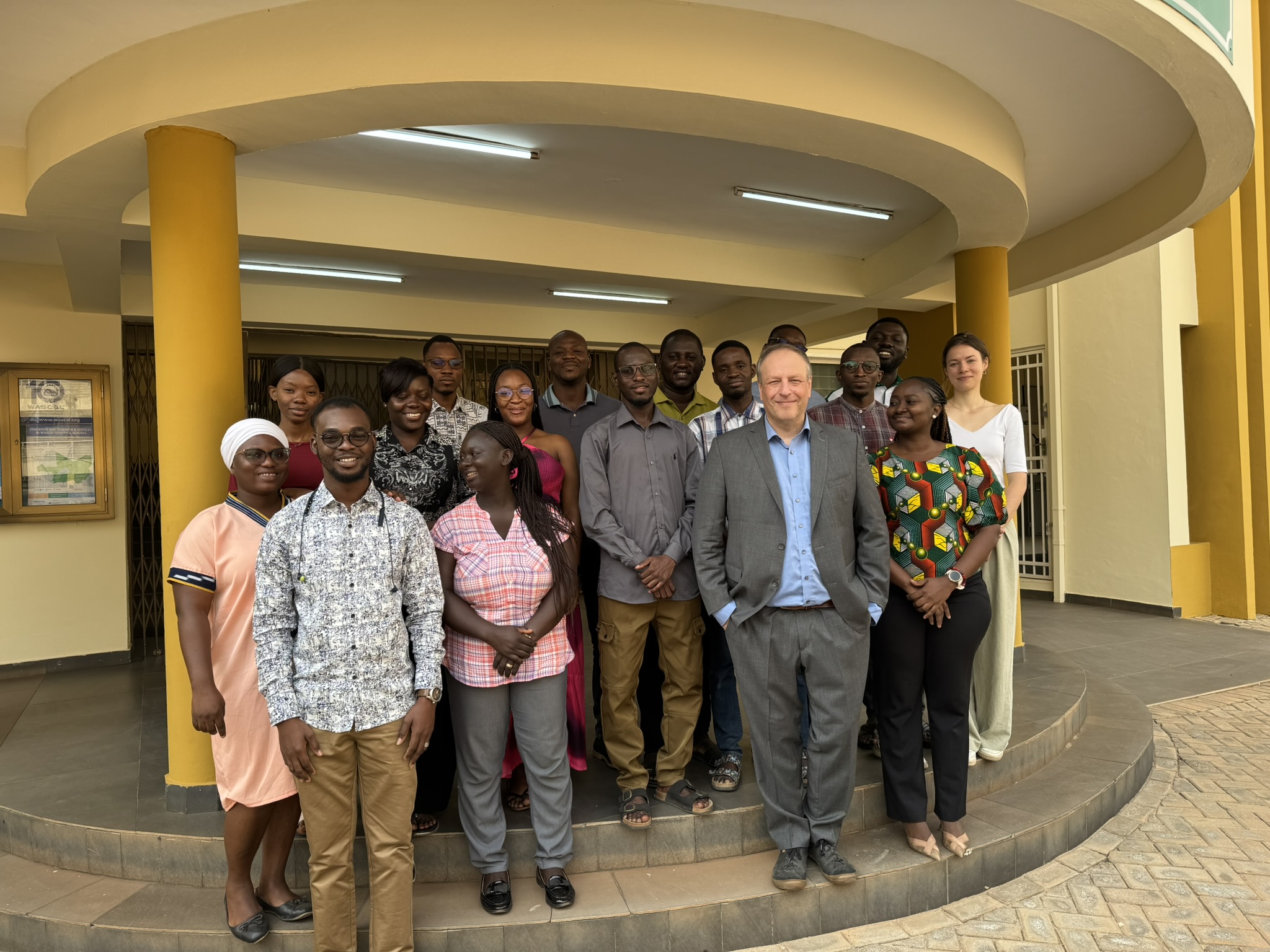
In the second week of our remote sensing training within the WASCAL Climate Change and Land Use program at KNUST in Kumasi (Ghana), our NetCDA team deepens the applied component of the course. The students learn how to use, adapt, and write their own code in R and Google Earth Engine (GEE) to analyze satellite data. We also explore how remote sensing can be applied to the students’ specific research questions. These activities were complemented by a field visit, during which we discussed and practiced various aspects of data collection across different land‑use categories.
follow us and share it on:

you may also like:

Drone manufacturer Wingtra visits EORC

Drone manufacturer Wingtra visits EORC

Is it possible to combine the efficiency of a fixed-wing drone with the precision of a laser scanner? That question brought researchers from EORC together with Wingtra, a Swiss company designing and manufacturing fixed-wing UAS, to exchange on UAS research and discuss...

How We Learned to Fly: The Story Behind UAS Research at EORC

How We Learned to Fly: The Story Behind UAS Research at EORC

Every research group that's ever bought a drone has a story about the first one it lost. We're no different. So let's just get that out of the way up front: this is the inside story of how UAS (Unoccupied Aerial System) research grew up at the Earth Observation...

MainPro workshop on TLS and LiDAR UAS

MainPro workshop on TLS and LiDAR UAS

This week, a workshop organized by Sebastian Buchelt within our EFRE project MainPro brought together students, researchers, and interested project partners to explore modern UAV technologies. The workshop took place in vineyards close to Würzburg and gave the...

Share This