Our article in MEE got accepted “r.pi: a GRASS GIS package for semi-automatic spatial pattern analysis of remotely sensed land cover data” by Martin Wegmann, Benjamin Leutner, Markus Metz, Markus Neteler, Stefan Dech, Stefan and Duccio Rocchini. It outlines the capabilities of the r.pi package to analyze spatial patterns derived from remote sensing land cover data to inform about landscape conditions and changes. Such fragmentation measures are relevant for ecology or conservation as well as for remote sensing to produce value-added landcover maps that provide details on the spatial structure of the landscape.

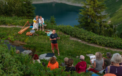
Getting Ready for 25 + 10
Next week's the big one. Twenty five years of EORC and ten years of EAGLE, all in one event, and we're expecting around 250 people through the door. Sabine Oppmann's been leading the prep meetings, and we've split things into clear teams: setup, catering, AV and...