Blender animation of Arctic Summer and Night

Blender animation of Arctic Summer and Night

March 11, 2025

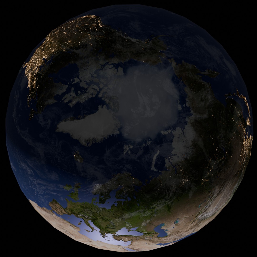
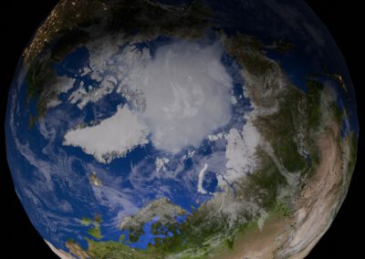
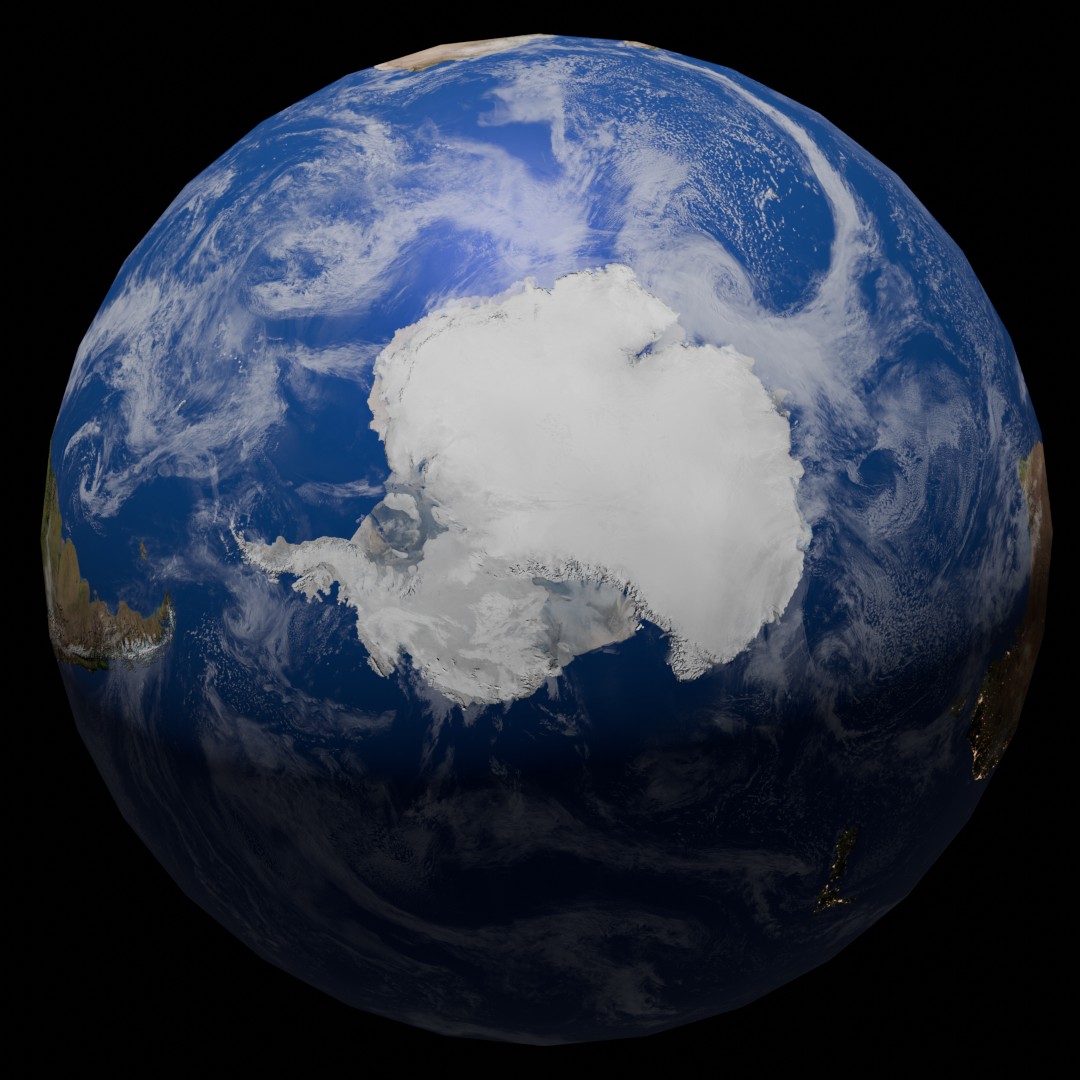
Our EAGLE M.Sc. student Sebastian Rothaug continued working with various software programs and approaches we covered in our courses during the last winter term and came up with some great Arctic summer/winter animations using Blender. Sebastian’s remarkable work with Blender embodies the innovative spirit at the heart of our EAGLE M.Sc. programme as he explores the capabilites of Earth Observation and software solution and applies it to Arctic and Antarctica. His animations not only vividly depict these remote regions but also act as an influential medium for conveying scientific knowledge to a wider audience. It is truly inspiring to witness how our students apply their creativity and technical prowess to expand the horizons of their research. Sebastian’s commitment highlights the significant impact of our course in nurturing a culture of perpetual learning within the scientific community.

follow us and share it on:

you may also like:

Urban Earth Observation Lecture: Understanding Cities from Above

Urban Earth Observation Lecture: Understanding Cities from Above

As part of the EAGLE M.Sc. programme, our international students attended this winter term the Urban Earth Observation lecture by EORC professor Hannes Taubenböck. The session offered a comprehensive overview of how remote sensing has evolved into a central tool for...

EAGLE Internship Presentation EO on Svalbard

EAGLE Internship Presentation EO on Svalbard

On February 24, 2026, Leonie Sonntag and Jannis Midasch will present their internship results on " Internship on Svalbard" at 13:00 in seminar room 3, John-Skilton-Str. 4a. During March and April 2025, EAGLE MSc students Leonie Sonntag and Jannis Midasch completed a...

Learning Geospatial Tools in Practice: whitebox

Learning Geospatial Tools in Practice: whitebox

A central goal of the EAGLE Earth Observation programme is to equip students with a broad and practical understanding of the software tools used in geospatial analysis. Rather than focusing on a single platform, students are encouraged to explore different approaches,...

Share This