Conducting Ethically Mindful Earth Observation Research

Conducting Ethically Mindful Earth Observation Research

October 25, 2023

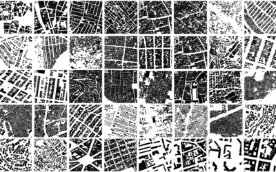
With the increasing spatial and temporal resolutions in Earth Observation data, with the increasing capabilities of machine learning and artificial intelligence techniques in image analysis, ethical concerns in the field of remote sensing also increase. The Technical University of Munich, the Earth Observation Center (EOC) of the German Aerospace Center (DLR) and our Earth Observation Research Cluster of the University of Würzburg have continued cooperation on this subject. They presented and published their work “Conducting Ethically Mindful Earth Observation Research: The Case of Slum Mapping” at this year’s International Geoscience and Remote Sensing Symposium (IGARSS) conference in Pasadena, California, USA.


From the abstract: Ethical issues in Earth Observation (EO) research have not received much attention in academic research thus far. However, they are becoming centrally relevant as a result of increasing satellite image resolution, the use of Artificial Intelligence or Machine Learning tools together with EO data, and an ever-expanding number of real-world use cases based on EO data or image analysis. In this short paper, we provide a summary of ethical issues linked to one key field of EO research, namely, slum mapping, to provide EO scientists some food for thought on how best to re-frame this field of research to avoid ethical pitfalls and maximize ethical opportunities.


Please find the full paper here: https://ieeexplore.ieee.org/document/10281725


This work adds to an earlier paper titled “Artificial Intelligence for Earth Observation: Understanding emerging ethical issues and opportunities” in the journal Geoscience & Remote Sensing Magazine. Please find the full paper here: https://ieeexplore.ieee.org/stamp/stamp.jsp?tp=&arnumber=9954451


you may also like:

Our research site and project covered by BR

Our research site and project covered by BR

The University forest at Sailershausen is a unique forest owned by the University of Wuerzburg. It comes with a high diversity of trees and most important is part of various research projects. We conducted various UAS/UAV/drone flights with Lidar, multispectral and...

Meeting of the FluBig Project Team

Meeting of the FluBig Project Team

During the last two days, the team of the FluBig project (remote-sensing.org/new-dfg-project-on-fluvial-research/) met at the EORC for discussing the ongoing work on fluvial biogeomorphology. After returning from a successful field expedition to Kyrgyzstan a couple of...

‘Super Test Site Würzburg’ project meeting

‘Super Test Site Würzburg’ project meeting

After the successful "Super Test Site Würzburg" measurement campaign in June (please see here: https://remote-sensing.org/super-test-site-wurzburg-from-the-idea-to-realization/ ), the core team from the University of Würzburg, the Karlsruhe Institute of Technology,...

EORC Talk: Geolingual Studies: A New Research Direction

EORC Talk: Geolingual Studies: A New Research Direction

On July 19th, Lisa Lehnen and Richard Lemoine Rodríguez, two postdoctoral researchers of the Geolingual Studies project, gave an inspiring presentation at the EORC talk series.   In the talk titled "Geolingual Studies – a new research direction", they...

EO support for UrbanPArt field work

EO support for UrbanPArt field work

From May to September, Karla Wenner, a PhD student at the Juniorprofessorship for Applied Biodiversity Science, will be sampling urban green spaces and semi-natural grasslands in Würzburg as part of the UrbanPArt project. Our cargo bikes support the research project...

Cinematic drone shots

Cinematic drone shots

We spend quite some time in the field conducting field work, from lidar measurements to vegetation samples in order to correlate it with remote sensing data to answer various research questions concerning global change. Field work is always a 24/7 work load and...