On the 22nd of September, we also presented various of our research studies from our cooperation between the German Remote Sensing Data Center (DFD) of the German Aerospace Center (DLR) and our Earth Observation Research Cluster of the Julius-Maximilians-University at the German Congress of Geography ( https://dkg2023.de/ ) in Frankfurt am Main.
Prof. Carsten Jürgens from the Ruhr-University of Bochum and Prof. Hannes Taubenböck hosted their organized session titled “Urbane Fernerkundung: Neue Erkenntnisse für stadtgeographische Forschung”.
In the session research studies that demonstrate the potential of Earth observation for documenting and analysing urban space have been presented. The focus was on geographical approaches that derive urban geographic research questions with empirical data from remote sensing and, if applicable, other geodata. https://dkg2023.de/sitzungen/urbane-fernerkundung-neue-erkenntnisse-f%C3%BCr-81815
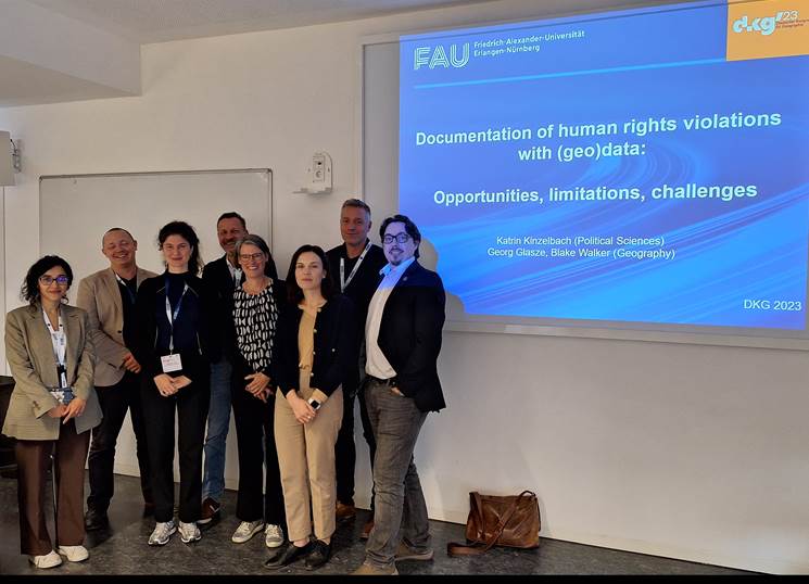
Hannes Taubenböck was invited to the session titled “Documentation of human rights violations using heterogeneous geodata from remote sensing and (social) media”. In this session, he presented on behalf of the Geolingual Studies team as well as colleagues from DLR and our EO Research Cluster an overview of capabilities of remote sensing, official census, social media, media and other geodata to document and locate possible human rights violations. In the discussion with other disciplines such as from political sciences and with NGOs, and other stakeholders and practitioners it became obvious that inter- and transdisciplinary approaches are a necessity. https://dkg2023.de/papers/documentation-of-human-rights-violations-86227