Contributions to the Joint Urban Remote Sensing Event (JURSE) #3

Contributions to the Joint Urban Remote Sensing Event (JURSE) #3

m

May 20, 2023

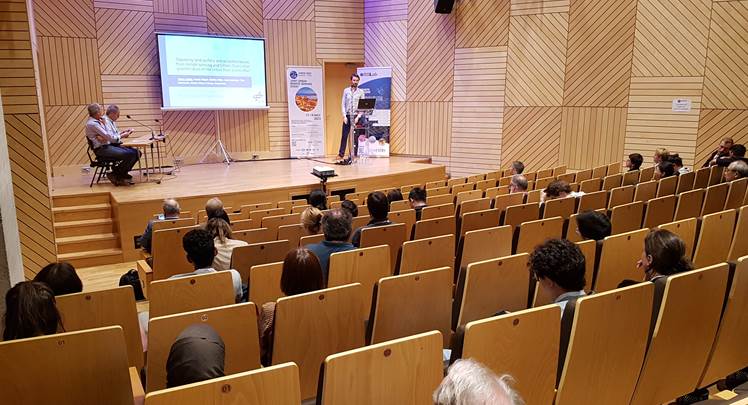
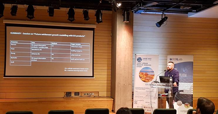
On the third day of the JURSE, the Earth Observation Research Hub and the Earth Observation Center of the DLR contributed with further papers and talks to the conference.

Marta Sapena gave a presentation titled “Integrating multi-source remote sensing data for monitoring urban development in West Africa” (see conference paper), a research work conducted as part of the European Union’s Caroline Herschel Framework Partnership Agreement on Copernicus User Uptake (project FPCUP; Action 2019-2-11) and the BMBF project MIGRAWARE. In her talk Marta addressed the use of Sentinel data to analyze patterns of urban development to support the understanding of migration processes.

 Tobias Leichtle presented works carried out within the KLIPS project. His presentation was titled “Opposing land surface and air temperatures from remote sensing and Citizen Science for quantification of the Urban Heat Island effect”. John Friesen presented his works in collaboration with Nicolas Kraff on “Spatiotemporal dynamics of slum populations in Caracas, Venezuela”. And, Christian Geiß introduced his works on “LSTM models for spatiotemporal extrapolation of population data”.

And, it was announced that Tunisia has been selected to host #JURSE25!


you may also like:

EORC at the International Africa Festival 2025 in Würzburg

EORC at the International Africa Festival 2025 in Würzburg

If you know Würzburg, you certainly know the International Africa Festival, Europe's largest and oldest festival for African music and culture. For 15 years in a row now, the university tent has been an integral part of the festival. This is where the...

EO4CAM meeting at LfU in Augburg on grassland in Bavaria

EO4CAM meeting at LfU in Augburg on grassland in Bavaria

As part of the EO4CAM project (Earth Observation Laboratory for Climate Adaption and Mitigation), representatives of the Bavarian Environment Agency (LfU), the German Aerospace Centre (DLR), and the Earth Observation Research Cluster (EORC) met at the LfU in...

New R Package Enhances UAS Research and Planning

New R Package Enhances UAS Research and Planning

We’re excited to share the development of a new R package created by our PhD student, Antonio Castaneda Gomez, whose contributions to Uncrewed Aerial Systems (UAS) research continue to impress. Known as the brain behind many of our UAS data collection...

Radio Bavaria BR2 covered our activities at the Africa-Festival

Radio Bavaria BR2 covered our activities at the Africa-Festival

Once again, our team proudly took part in the International Africa Festival in Würzburg, continuing our active participation within the University of Würzburg's exhibition—a tradition we’ve upheld for many years. This year’s event highlighted the ongoing commitment of...

Mapping Paleontology using UAS on cliffs

Mapping Paleontology using UAS on cliffs

We’ve recently started an exciting research project focused on mapping steep rock slopes that contain valuable paleontological information. Unlike most drone surveys that focus on horizontal ground surfaces, our work is aimed vertically—capturing data along exposed...