Department postcard 2016 – or christmas card

Department postcard 2016 – or christmas card

m

December 20, 2016


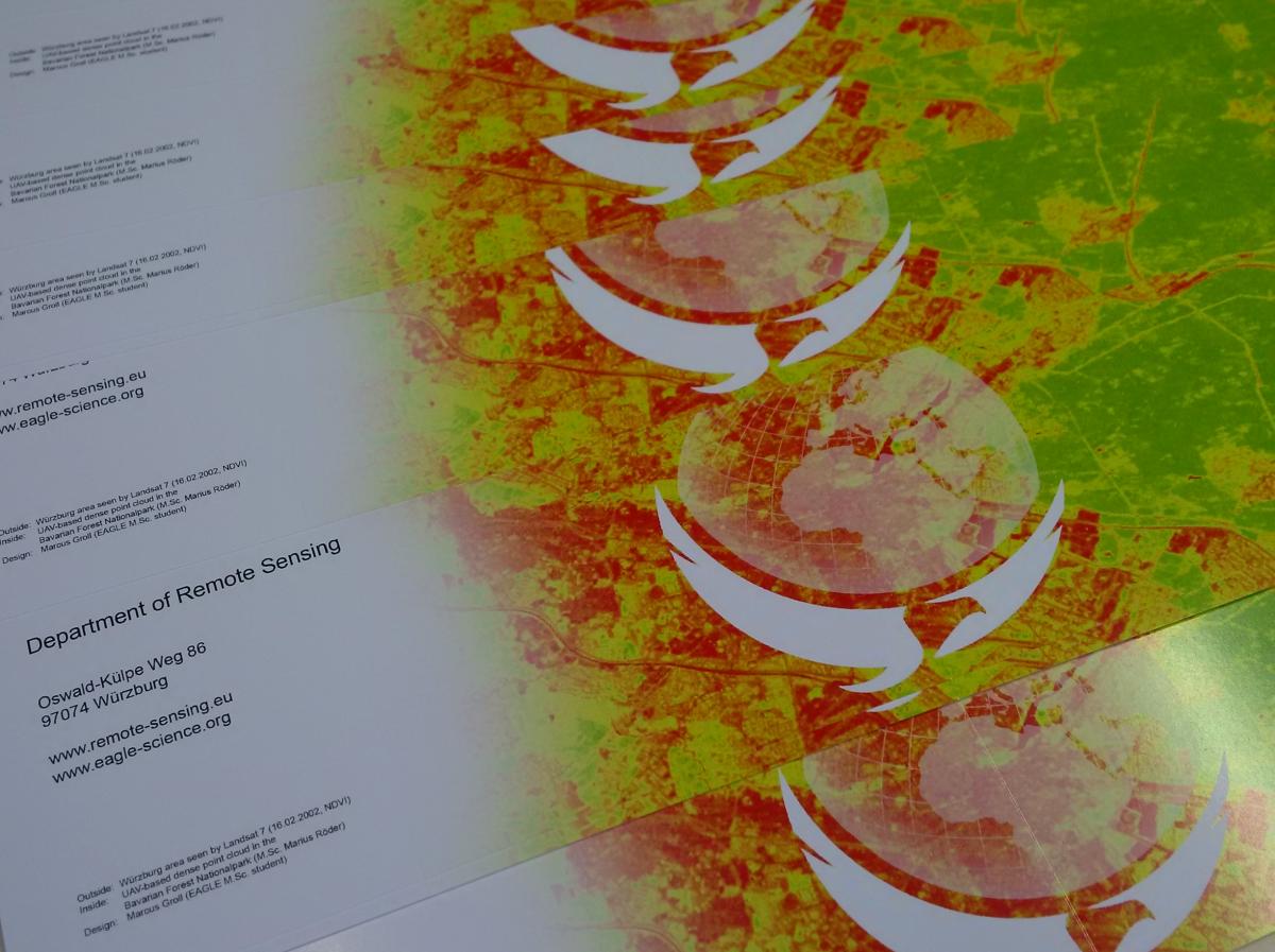
our end-of-the-year postcards or christmas cards arrived – even though they do not have a very christmas-like design – and will be send out soon. This year our card shows the Landsat NDVI for an area close to Würzburg on the outside. Inside you can see a 3D point cloud from UAV imagery to map trees and their biomass in the Nationalpark Bavarian Forest. Both data sets are used in ongoing research at the deparment as well as in the current lectures within our courses.

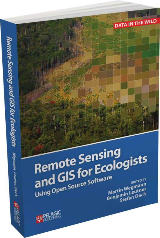
Remote Sensing and GIS for Ecologist book published in early 2016.


The card has been designed by our EAGLE M.Sc. student Marcus Groll. We thank him for his great artwork.

Our year 2016 was very productive one with many achievements such as the establishment of our international EAGLE M.Sc. program with many lecturers from the University of Würzburg, the German Aerospace Centre and further external colleagues. We are looking forward to the next application round after the application deadline in May 15th 2017. Moreover beside many projects and publications in 2016 we are also happy to see some of our PhD students about to finish their thesis and soon to hand in. We are keen to continue all the work in the next year and we are looking forward to an interesting 2017.

you may also like:

Our research site and project covered by BR

Our research site and project covered by BR

The University forest at Sailershausen is a unique forest owned by the University of Wuerzburg. It comes with a high diversity of trees and most important is part of various research projects. We conducted various UAS/UAV/drone flights with Lidar, multispectral and...

Meeting of the FluBig Project Team

Meeting of the FluBig Project Team

During the last two days, the team of the FluBig project (remote-sensing.org/new-dfg-project-on-fluvial-research/) met at the EORC for discussing the ongoing work on fluvial biogeomorphology. After returning from a successful field expedition to Kyrgyzstan a couple of...

‘Super Test Site Würzburg’ project meeting

‘Super Test Site Würzburg’ project meeting

After the successful "Super Test Site Würzburg" measurement campaign in June (please see here: https://remote-sensing.org/super-test-site-wurzburg-from-the-idea-to-realization/ ), the core team from the University of Würzburg, the Karlsruhe Institute of Technology,...

EORC Talk: Geolingual Studies: A New Research Direction

EORC Talk: Geolingual Studies: A New Research Direction

On July 19th, Lisa Lehnen and Richard Lemoine Rodríguez, two postdoctoral researchers of the Geolingual Studies project, gave an inspiring presentation at the EORC talk series.   In the talk titled "Geolingual Studies – a new research direction", they...

EO support for UrbanPArt field work

EO support for UrbanPArt field work

From May to September, Karla Wenner, a PhD student at the Juniorprofessorship for Applied Biodiversity Science, will be sampling urban green spaces and semi-natural grasslands in Würzburg as part of the UrbanPArt project. Our cargo bikes support the research project...

Cinematic drone shots

Cinematic drone shots

We spend quite some time in the field conducting field work, from lidar measurements to vegetation samples in order to correlate it with remote sensing data to answer various research questions concerning global change. Field work is always a 24/7 work load and...