


follow us and share it on:
you may also like:
EORC collaborations: Nature and Conservation with Remote Sensing
Our Earth Observation Research Centre (EORC) at the University of Würzburg is involved in many collaborations applying remote sensing to environmental monitoring, conservation, and ecosystem research. Our work spans mountain ranges, forests, savannahs, and protected...
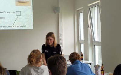
MaPebbleThon – Mapathon to support UAV and satellite imagery based grainsize estimation
Generating validation data for machine-learning-based segmentation outputs remains a major challenge and requires substantial manual effort. To support the Master thesis of Leonie Sonntag, 17 EAGLE students and PhD researchers participated in a joint mapathon...
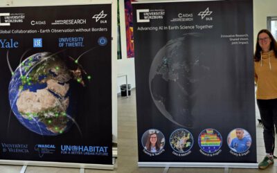
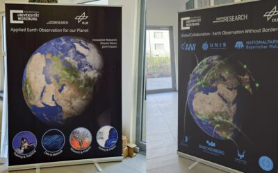
Introducing Our New Roll-Ups: A Snapshot of Our Work and Collaborations
At EORC we are excited to introduce our new roll-ups, designed to offer a clear and engaging snapshot of who we are, what we do, and where we work. These visual displays highlight the breadth of our collaborations, our core research areas, and the diverse activities...
EORC Talk: Bridging Disciplines in the Age of AI and Global Data
Today's EORC Talk was more than just a lecture. It was a vivid reminder of how dynamic and interconnected modern science has become. We were delighted to host Meeyoung Cha, Scientific Director from the Max Planck Institute for Security and Privacy (MPI-SP), who...
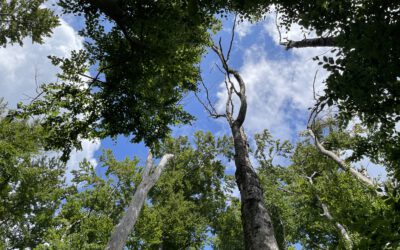
Towards Earth Observation-supported identification of drought-resilient tree provenances in Bavaria
Recent drought years have raised concerns about the future vitality of different tree species in Bavaria. Focussing on European beech (Fagus sylvatica) in Bavaria as an example, drought impacts vary considerably, with pronounced decline in part of the stands while...
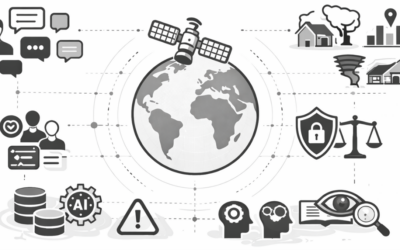
AI, Society, and Computing – Leveraging Global Data While Tackling Ethical Challenges
We are pleased to invite you to the next EORC Talk at the Earth Observation Research Cluster in Würzburg. On Monday, 13 April 2026 at 4:00 pm, Meeyoung Cha (Max Planck Institute for Security and Privacy, Bochum) will present her latest work on the opportunities and...