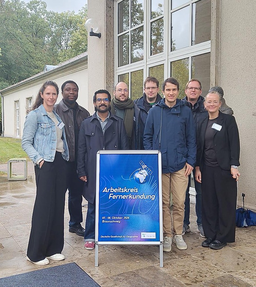

The 2026 meeting of the German Working Group on Remote Sensing (AK Fernerkundung) took place on 7–8 October at the Thünen Institute in Braunschweig, bringing together researchers and experts from across the remote sensing community.
Under the theme “Earth Observation and Environmental Data for Society, Policy and Sustainable Land Use”, the meeting highlighted the growing importance of combining Earth observation, artificial intelligence, and complementary environmental data to better understand our changing planet and support informed decision-making and sustainable land use.
The event offered a diverse program of scientific presentations, stimulating discussions, and valuable opportunities for exchange across institutions and disciplines.
EORC Contributions at AK Fernerkundung 2026
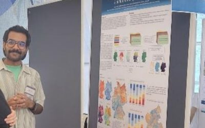
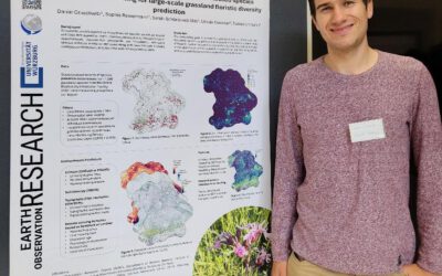
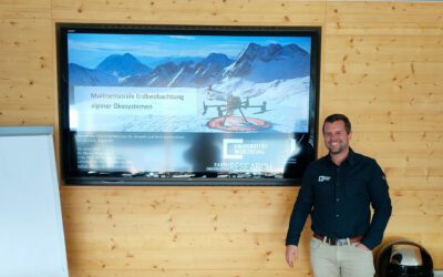
The Earth Observation Research Cluster (EORC) at Julius-Maximilians-Universität Würzburg was pleased to contribute to this year’s meeting with six scientific contributions, presented through talks and posters.
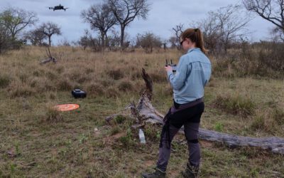
The contributions reflected the broad thematic and geographical scope of research conducted at EORC and in collaboration with its partners. Topics ranged from high-resolution mapping of woody vegetation and land cover classification to biodiversity assessments, species distribution modelling, and the application of optical and radar satellite data for hydrological analyses. Further research addressed ecosystem sensitivity, resilience, and vulnerability to climate change.
Together, these studies highlighted the potential of combining Earth observation with environmental data and advanced modelling approaches to better understand ecological processes and support sustainable land management, biodiversity conservation, and climate adaptation.
For further insights into the scientific contributions and the diverse topics discussed during the meeting, please explore the full programme of AK Fernerkundung 2026.
Scientific Exchange and Collaboration
Beyond the scientific presentations, the meeting once again demonstrated the importance of interdisciplinary collaboration and exchange in advancing remote sensing research and translating scientific findings into practical applications.
A sincere thank you to the Thünen Institute and the organizing team for hosting this year’s meeting, putting together an engaging scientific program, and providing an excellent setting for stimulating discussions and networking.
We would also like to thank our EORC colleagues and their research partners, including the German Remote Sensing Data Center (DFD) at the German Aerospace Center (DLR), the Department of Geoecology, Institute of Geosciences and Geography at the Martin Luther University Halle-Wittenberg, and the Conservation and Research Department, Akagera National Park, Rwanda, for their valuable collaboration and contributions to the research presented at the meeting.
We gratefully acknowledge the funding organizations whose support makes these collaborative research activities possible.
Many thanks to everyone involved for the inspiring presentations, fruitful discussions, and opportunities to connect. We look forward to continuing the scientific exchange and future collaborations!