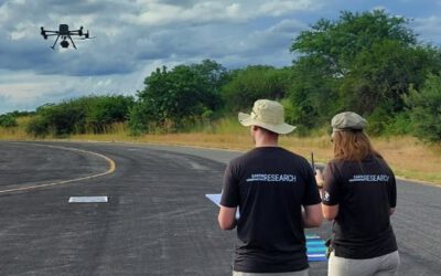
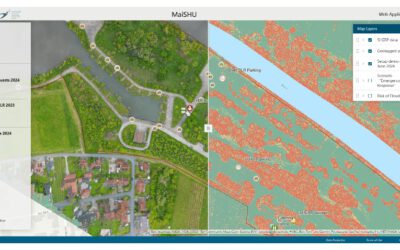
Our UAS research group is currently out in the field collecting a wide range of environmental data. Fieldwork isn’t only about flying drones – it also involves hands-on problem-solving from coding to practical implications, from soldering and repairing to inventing new circuits for measurements. After a long day outside, PhD candidate Antonio Castañeda continues work in the research unit, fine-tuning devices, while MSc student Anna Bischof is busy processing and checking her datasets, and Luisa Pflumm is analysing UAS imagery of active fires to derive fire intensity. Early next morning they will head back into the field with Dr. Mirjana Bevanda for further data collection. Results from the fire mapping will be shared soon.
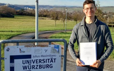
Johannes Mast Submits PhD Thesis on Migration Research Using Remote Sensing and Social Media Data
We are proud to celebrate a major milestone of EAGLE MSc alumnus and EORC PhD student Johannes Mast, who has successfully submitted his PhD thesis titled “Geographical Migration Research Based on Remote Sensing and Social Media Data.” His work represents an exciting...