final electronic version of our book

final electronic version of our book

October 26, 2015

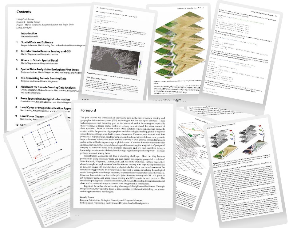
remote_sensing_GIS_ecology_open_source_Wegmann_Leutner_Dech_Oct2015We received the final electronic proof of our book “Remote Sensing and GIS for Ecologists – Using Open Source software“. The printed versions of our book should be available soon and we are very much looking forward to it.

The publisher is still offering 20% discount on pre-orders – order our book right now on www.pelagicpublishing.com using the discount code: RSGE20.
We are also thankful to Woody Turner for his fantastic foreword:

“.….With this book, Wegmann, Leutner, and Dech […] cleverly couple an exploration of satellite remote sensing with step-by-step immersion in the open source GIS and statistical analysis tools that allow one to make sense of the remote sensing products. In my experience, this book is unique in walking the ecological reader through the actual steps necessary to create their own remotely sensed products. It is more than an introduction to the principles of remote sensing and GIS. It is guide to get the reader going, and using remote sensing and GIS to create focused products. The text also helpfully rp_book_remote_sensing_gis_ecologists_wegmann_leutner_dech-202x300.pngpoints to selected websites, articles, and books for deeper informational dives and recommends ways to connect with the geospatial community. I applaud the authors for advancing all ecological disciplines with this text. Through this guidebook, they open the doors to the geospatial revolution that is taking our science and its applications to new heights.

Woody Turner
Program Scientist for Biological Diversity and Program Manager
for Ecological Forecasting, Earth Science Division, NASA Headquarters

you may also like:

Science slam with Earth Observation

Science slam with Earth Observation

On November 8th the University Wuerzburg Science Slam will take place on the Campus Hubland again - this time with the head of our Department of Global Urbanization and Remote Sensing, Prof. Hannes Taubenboeck. He will present our urban research using remote sensing...

new team member Lilly Schell

new team member Lilly Schell

Lilly Schell joined the Earth Observation Research Cluster in October 2024 as a research assistant for the “Network for Capacity Development in Climate Change Adaptations in Africa” project. Her doctoral research will focus on the use of remote sensing techniques in...

Research by Jannis Midasch presented at Archaelogy conference

Research by Jannis Midasch presented at Archaelogy conference

Our EAGLE student Jannis Midasch presented his work on "Rediscovering a lost medieval castle using GIS and UAS-based remote sensing" at the Annual Meeting of the Aerial Archaelogy Research Group in York, UK this September. Jannis used various UAS/drone based...

Summer School of Alpine Research

Summer School of Alpine Research

Last week, Laura, an 8th gen EAGLE Student, participated in the Summer School of Alpine Research, conducted by the University of Innsbruck, in the beautiful location of the Austrian Oetztal in Obergurgl. The focus of the Summer School was on Close Range Sensing...