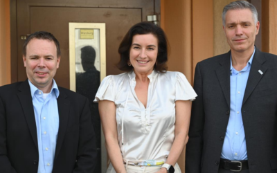
The ifo-Institute in Munich invited Prof. Hannes Taubenböck to its lunchtime seminar on May 10. In the lecture, he showed that earth observation data and methods can contribute new information on the topic of “building and living” and that more and more spatial knowledge is becoming available. He addressed how and where we live in Germany and, most importantly, what that means – ecologically, economically and socially. Furthermore, the focus was then primarily on the fact that these different aspects not only complement each other, but are also partly contradictory. The new scientific knowledge based on remote sensing and other geospatial data help to better describe and understand the challenges in spatio-quantitative terms. However, he critically discussed, that these findings do not yet provide clear guidance for planning or policy action.
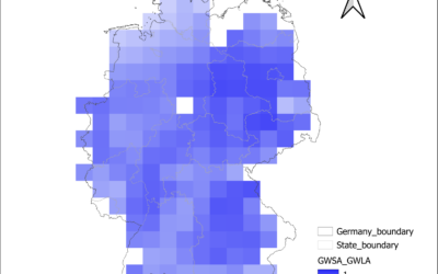
EAGLE Internship Presentation: Groundwater Level Trends in Germany: A National-Scale Assessment Using In-Situ Monitoring Data and GRACE Satellite Products
On August 04, 2026 Anugraha Das will present her internship results on " Groundwater Level Trends in Germany: A National-Scale Assessment Using In-Situ Monitoring Data and GRACE Satellite Products" at 12:00 at the seminar room 3 in John-Skilton-Str. 4a. From the...