Innolab Presentation: Enhancing Satellite Data Processing for Global Shallow Water Bathymetry at EOMAP

Innolab Presentation: Enhancing Satellite Data Processing for Global Shallow Water Bathymetry at EOMAP

August 27, 2024

On September 10, 2024, Isabella Metz will present her Inno Lab results on ” Enhancing Satellite Data Processing for Global Shallow Water Bathymetry at EOMAP” at 12:00 in seminar room 3, John-Skilton-Str. 4a.
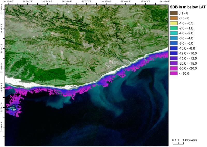
From the abstract: About 75% of the oceans have not yet been mapped, which leads to considerable information gaps in e.g. marine research and coastal protection. Direct measurement methods to map the depths and structures of the seafloor are time-consuming and cost-intensive. Therefore an international project to provide a global shallow water bathymetry dataset from satellite data has been initiated. In order to adapt to the different morphological conditions of the world, the project involves several approaches to calculate the water depth, e.g. via wave kinematics.
1st supervisor: Dr. Michael Thiel
Hosting institution: EOMAP GmbH & Co.KG

you may also like:

Science Communication training with our NetCDA partners

Science Communication training with our NetCDA partners

Friday last week we had the chance to offer our NetCDF guests and partners various workshops on science communication. Depending on their previous knowledge, the participants in these workshops were able to expand their skills in the external representation and...

Project meeting NetCDA

Project meeting NetCDA

The first annual NetCDA project meeting took place in Würzburg on November 21st, 2024. Together with all German and West African partners from the West African Science Service Centre on Climate Change and Land Use (WASCAL), we have laid the foundation for our future...

The EORC can also be found on bluesky

The EORC can also be found on bluesky

We are active on various social media channels but in the last weeks we monitored a very strong increase of scientists joining bluesky and following our activities on that platform. Therefore we decided to be more active on bluesky and post regular news about our...

Blender GIS introduction

Blender GIS introduction

Within out EAGLE Earth Observation M.Sc. we also cover software applications which might not be used on a regular basis within our field of research but are sometimes highly useful to display our spatial data in a visually appealing way - and also potentially provides...

EAGLE presentation by Gökçe Yağmur Budak

EAGLE presentation by Gökçe Yağmur Budak

On November 26, 2024, Gökçe Yağmur Budak will present her internship results on " Leveraging Data-Driven Approaches for Seismic Risk Assessment in Istanbul " at 12:30 in seminar room 3, John-Skilton-Str. 4a. From the abstract: This internship aims to create time...