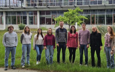
On Monday morning, collaborators of the Deutsche Bundesstiftung Umwelt (DBU)-funded project, “Ecosystem Services of the Urban Forest: area-wide modeling based on remote sensing and artificial intelligence” met at the Earth Observation Center (EOC) of the German Aerospace Center (DLR) in Oberpfaffenhofen. The meeting brought together project partners from different institutions and fields of expertise, fostering collaborative discussions on various aspects of the project: Sofia Garcia from our University in Würzburg (JMU), Tobias Leichtle from DLR, Thomas Rötzer and Stephan Pauleit from the Technical University of Munich (TUM), Klaus Martin from the Company for Remote Sensing and Environmental Research (SLU) and Hannes Taubenböck from DLR and JMU.
This project focuses on urban trees and their role in providing essential ecosystem services that combat the impacts of climate change in cities—services like cooling, shading, carbon storage, and biodiversity conservation. However, a lack of detailed information about these services at larger scales poses a challenge. To address this, the project aims to use high-resolution aerial and satellite imagery, along with elevation data, to characterize trees and their surroundings. These data are used to expand the CityTree model, originally designed for single-tree measurements, and obtain ecosystem services estimations of common Central European tree species in larger areas. The ultimate goal is to provide practical and detailed information on the ecosystem services of urban trees, facilitating the implementation of climate adaptation strategies by end users such as municipalities and planners.
The meeting started with Sofia Garcia’s presentation showcasing her remote sensing-based approach for characterizing and classifying urban trees in the city of Munich. Sofia’s work offers a comprehensive insight into the urban forest structure. Thomas Rötzer further enriched the meeting with his presentation on the integration of the remote sensing-based tree database into the CityTree model and preliminary results of the quantification of ecosystem services in a test area in Munich. The integration of the remote-sensing data and the ecosystem services model lays the foundation for the possibility of estimating ecosystem services of urban trees in larger areas.
Recognizing the importance of disseminating their findings, the team delved into discussions on preparing for future outreach activities. This includes the publication of research findings, participation in conferences, and engagement in expositions. These activities are intended to not only share knowledge within the scientific community but also for creating awareness among the general public.
The meeting also offered a unique opportunity for the team to visit the German Space Operations Center. Witnessing how astronauts aboard the International Space Station are monitored provided a fascinating connection between the Earth-based research they are engaged in and the realm of space exploration.