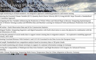
On Tuesday, May 07, at 12:00 Ronja Seitz will present her internship presentation on “Application of Geospatial Science in Reinsurance ” in seminar room 3, John-Skilton-Str. 4a.
From the abstract: I used the opportunity of my mandatory internship to enter an entirely different field in comparison to my previous work experiences, the reinsurance sector. I stayed for 6 month full-time at the biggest reinsurer worldwide – the MunichRe, at their headquarters in Munich. The focus of my department laid on providing internal services related to spatial data including internal tools, data analysis or management of geodata or geosoftware. I supported my team in data processing, data assessment and data analysis and creating and updating internal tools. Throughout my six months at MunichRe I made a lot of professional and personal progress, e.g. gaining proficiency in Python or increasing openness and communication skills.
Supervisor: Dr. Mirjana Bevanda Hosting Institution: Munich Re/Münchner Rück