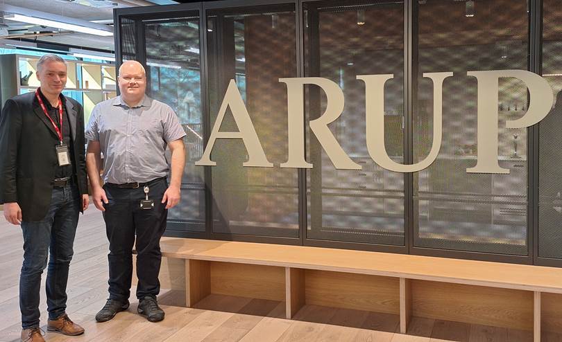
On March 20, our Professor Hannes Taubenböck visited ARUP in London, UK. ARUP is a global engineering and sustainable development consultancy with a focus on the built environment. The discussions focused on bridging the gap between scientific results and the implementation of adaptation measures in cities.
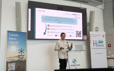
He was invited by Dr. Cobus van Rooyen, a Senior GIS Consultant, to also give a talk at ARUP. The talk was titled “Remote Sensing for the Analysis of Global Urbanization”.
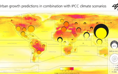
Here is the abstract of the talk at ARUP: Distance creates clarity – earth observation from space can be associated with this bon mot. Today’s data sets and new methods in the domain of machine learning and artificial intelligence in image analysis allow global analyses, e.g. on of urban growth or structural forms. At the same time, however, the spatial resolutions of data are now so high that it is possible to also map the small-scale objects of cities with high precision. This means that data is no longer the challenge – the challenge is rather to have the right ideas and concepts for analysis. This presentation aims to reveal where urban growth was most dynamic across the globe, why there are ghost towns in China and slums in India, whether cities are structurally similar or not across the globe or which impact different structural city types have on heat islands or the mortality rate.