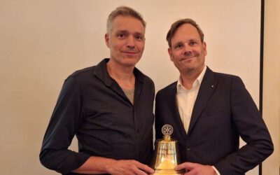
Keynote Presentation at the European Space Imaging Conference, Munich

Keynote Presentation at the European Space Imaging Conference, Munich

December 14, 2022

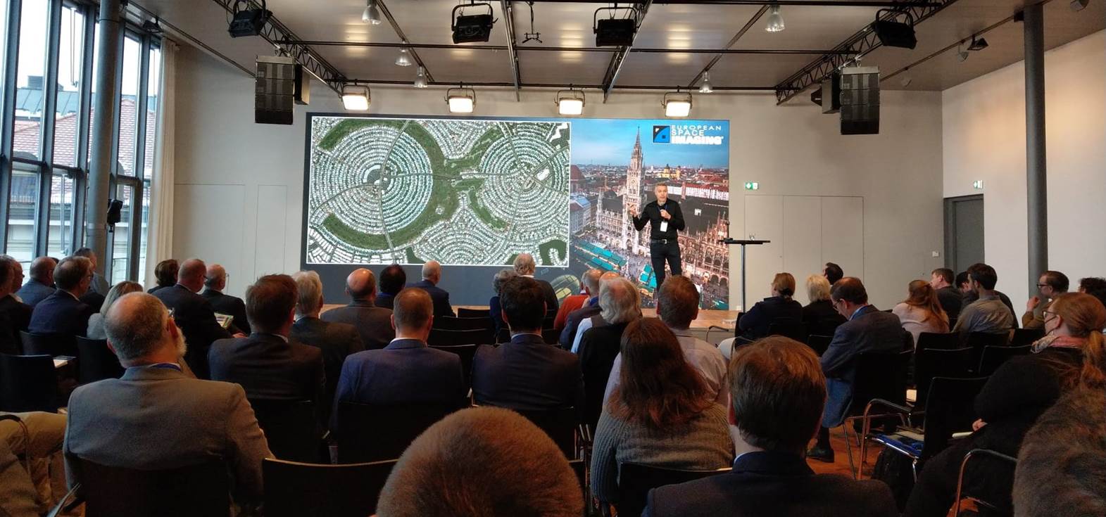
Keynote Presentation at the European Space Imaging Conference in Munich


The European Space Imaging Conference is currently (13th – 15th of December 2022) held in Munich, Germany. The conference brings together experts from all sectors where geospatial technologies and remote sensing are applied to enhance learning, provide innovative ideas and create conversations.


Prof. Dr. Hannes Taubenböck gave keynote lecture titled “Germany – how and where we (want to) live”: Each of us is residing – somehow. Whether in rural or urban areas, whether in single or multi-family houses, on the street, in luxury villas or container settlements: we all have this one thing in common. Based on the long-standing partnership between DLR and EUSI, VHR optical satellite data were used specifically to analyze the ‘how’ and the ‘where’ the German population lives. In his keynote lecture he introduced the capabilities of these remote sensing mapping products and the derived statistics to answer the question what it means for us as a society where and how we live.



you may also like:

Our research site and project covered by BR

Our research site and project covered by BR

The University forest at Sailershausen is a unique forest owned by the University of Wuerzburg. It comes with a high diversity of trees and most important is part of various research projects. We conducted various UAS/UAV/drone flights with Lidar, multispectral and...

Meeting of the FluBig Project Team

Meeting of the FluBig Project Team

During the last two days, the team of the FluBig project (remote-sensing.org/new-dfg-project-on-fluvial-research/) met at the EORC for discussing the ongoing work on fluvial biogeomorphology. After returning from a successful field expedition to Kyrgyzstan a couple of...

‘Super Test Site Würzburg’ project meeting

‘Super Test Site Würzburg’ project meeting

After the successful "Super Test Site Würzburg" measurement campaign in June (please see here: https://remote-sensing.org/super-test-site-wurzburg-from-the-idea-to-realization/ ), the core team from the University of Würzburg, the Karlsruhe Institute of Technology,...

EORC Talk: Geolingual Studies: A New Research Direction

EORC Talk: Geolingual Studies: A New Research Direction

On July 19th, Lisa Lehnen and Richard Lemoine Rodríguez, two postdoctoral researchers of the Geolingual Studies project, gave an inspiring presentation at the EORC talk series.   In the talk titled "Geolingual Studies – a new research direction", they...

EO support for UrbanPArt field work

EO support for UrbanPArt field work

From May to September, Karla Wenner, a PhD student at the Juniorprofessorship for Applied Biodiversity Science, will be sampling urban green spaces and semi-natural grasslands in Würzburg as part of the UrbanPArt project. Our cargo bikes support the research project...

Cinematic drone shots

Cinematic drone shots

We spend quite some time in the field conducting field work, from lidar measurements to vegetation samples in order to correlate it with remote sensing data to answer various research questions concerning global change. Field work is always a 24/7 work load and...