Lidar and Multispectral UAV

Lidar and Multispectral UAV

m

UAV

December 2, 2020

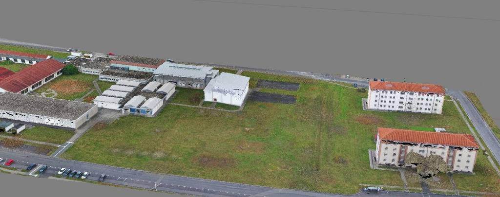
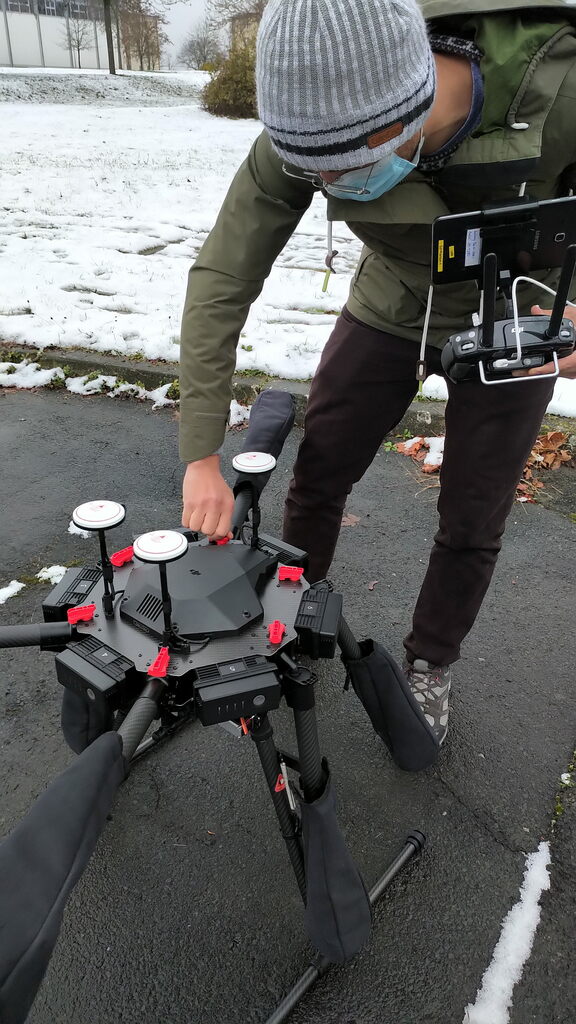
Our new LIDAR UAV arrived and is expanding the flight time and payload for the already working multispectral UAV. We first fly without payload in order to get a feeling and keep the stress level low but soon we will monitor urban, forest and other areas with LIDAR and multispectral plus thermal UAV-based sensors.


Great tools for scientific project as well as teaching activities. Learning new very high resolution data analysis as well as the mission planning, data processing etc. is crucial for our international EAGLE students.



you may also like:

Research on the UFS

Research on the UFS

The Earth Observation Research Cluster (EORC) is already conducting research on and around the highest mountain of Germany, Zugspitze and from next year our University will also be formally affiliated with the research station at Zugspitze (UFS). We are very much...

Contribution to the Geo-IT podcast of gis.Radio

Contribution to the Geo-IT podcast of gis.Radio

  For a new contribution to the Geo-IT podcast gis.Radio, Andreas Eicher interviewed our Professor Hannes Taubenböck about his recent talk at the Geographic Society Würzburg. We have reported on this talk:...

R package for Migration Analysis released

R package for Migration Analysis released

R package for Migration Analysis released We are happy to announce the initial release of our MigrationDetectR package. The package has been developed by Johannes Mast and applied as part of our work in the MIGRAWARE project. It is now released as part of the DLR...