Category: UAV

Drone manufacturer Wingtra visits EORC
Is it possible to combine the efficiency of a fixed-wing drone with the precision of a laser...
Read More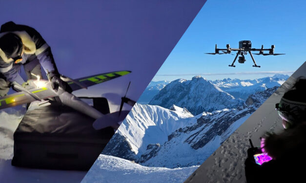
How We Learned to Fly: The Story Behind UAS Research at EORC
Every research group that’s ever bought a drone has a story about the first one it lost....
Read More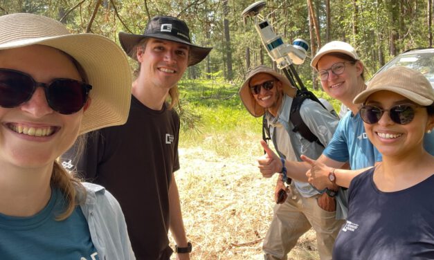
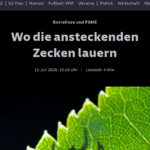
Ticks from Above: UAS Fieldwork for the MONID Habitrack Project
Forest edges are tricky places. They’re where woodland meets open ground, where light and...
Read More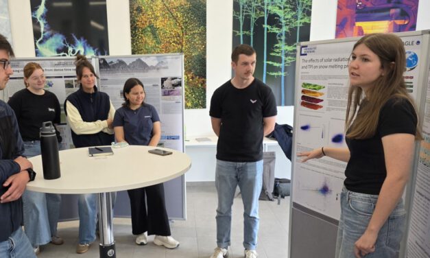
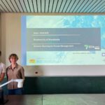
EAGLE Students Present EO Research Following Winter Fieldwork on Zugspitze
Students from the EAGLE MSc program recently presented their Earth Observation research during a...
Read More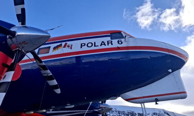
Polar 6 on Svalbard
The EORC team, particularly Dr. Jakob Schwalb-Willmann and Dr. Mirjana Bevanda, had the chance to...
Read More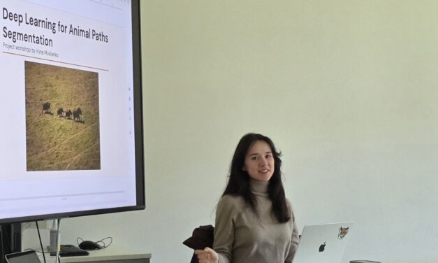
Informatics student project: Enhancing deep learning techniques to detect animal paths in UAV imagery
When animals roam the savanna, e.g. to find resources, they leave distinctive paths in the...
Read More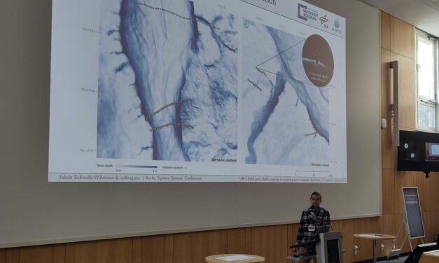
Mapping snow-ecosystem interactions from UAS: EORC at Arctic System Science Conference 2026
This week, the Arctic System Science Conference 2026 has been taking place in Potsdam. Hosted by...
Read More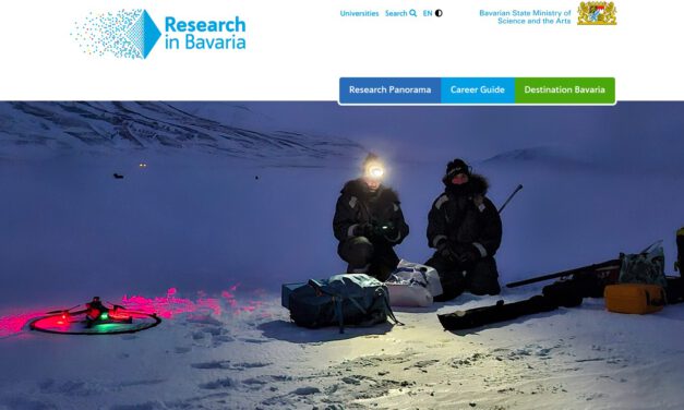
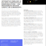
EORC Featured in Research in Bavaria: Remote Sensing in the Arctic
Remote sensing is opening new windows into some of the most remote and rapidly changing...
Read More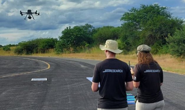
EAGLE Students Calibrate Thermal Sensors for Fire Mapping in Kruger National Park
Fieldwork, international collaboration, and hands-on sensor calibration – three EAGLE M.Sc....
Read More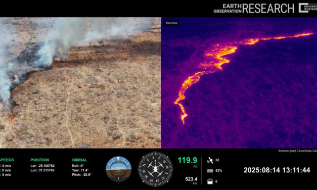
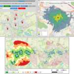
Capturing Fire in Motion: From Field Challenge to Visual Insight
In environmental research, the most compelling stories often emerge at the intersection of...
Read More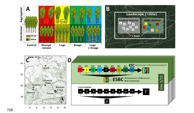
New publication explores how forest structure shapes beetle communities
A new peer-reviewed publication investigates how between-patch heterogeneity and old-growth forest...
Read More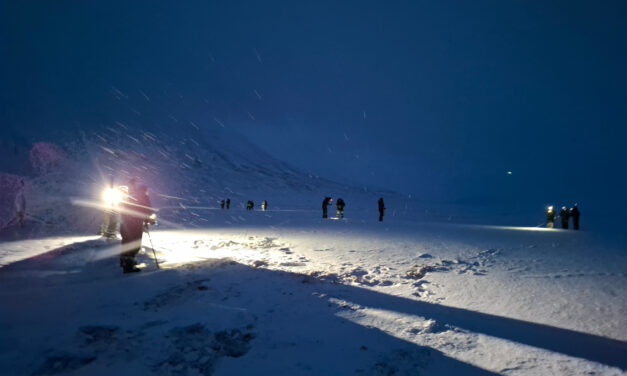
EORC researchers teaching drone remote sensing at UNIS, Svalbard
During their current visit to Svalbard, EORC researchers have been teaching UNIS students from all...
Read More