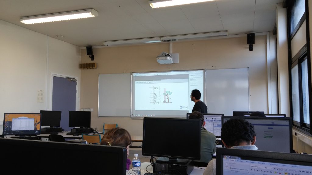
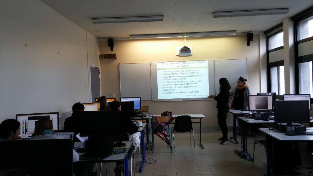
D. Hooman Latifi from the Dept. of Remote Sensing was invited by the Dept. of Geography at the Universé d’angers for a 2-week block course on forestry applications of LiDAR data. The course was consisted of lectures and practical examples within a two-week intensive campus-based teaching started from February 1st, 2016.
The topic focused on introduction to the analysis of laser scanning data (ALS/TLS) by means of theoretical lectures and practical excercises on computer conducted by participants, followed by group-wise oral presentations on selected subjects on the applied aspects of ALS data. Altogether 7 M.Sc students, 6 PhD students, one technical assistant in cartography and two lecturers attended the course.


