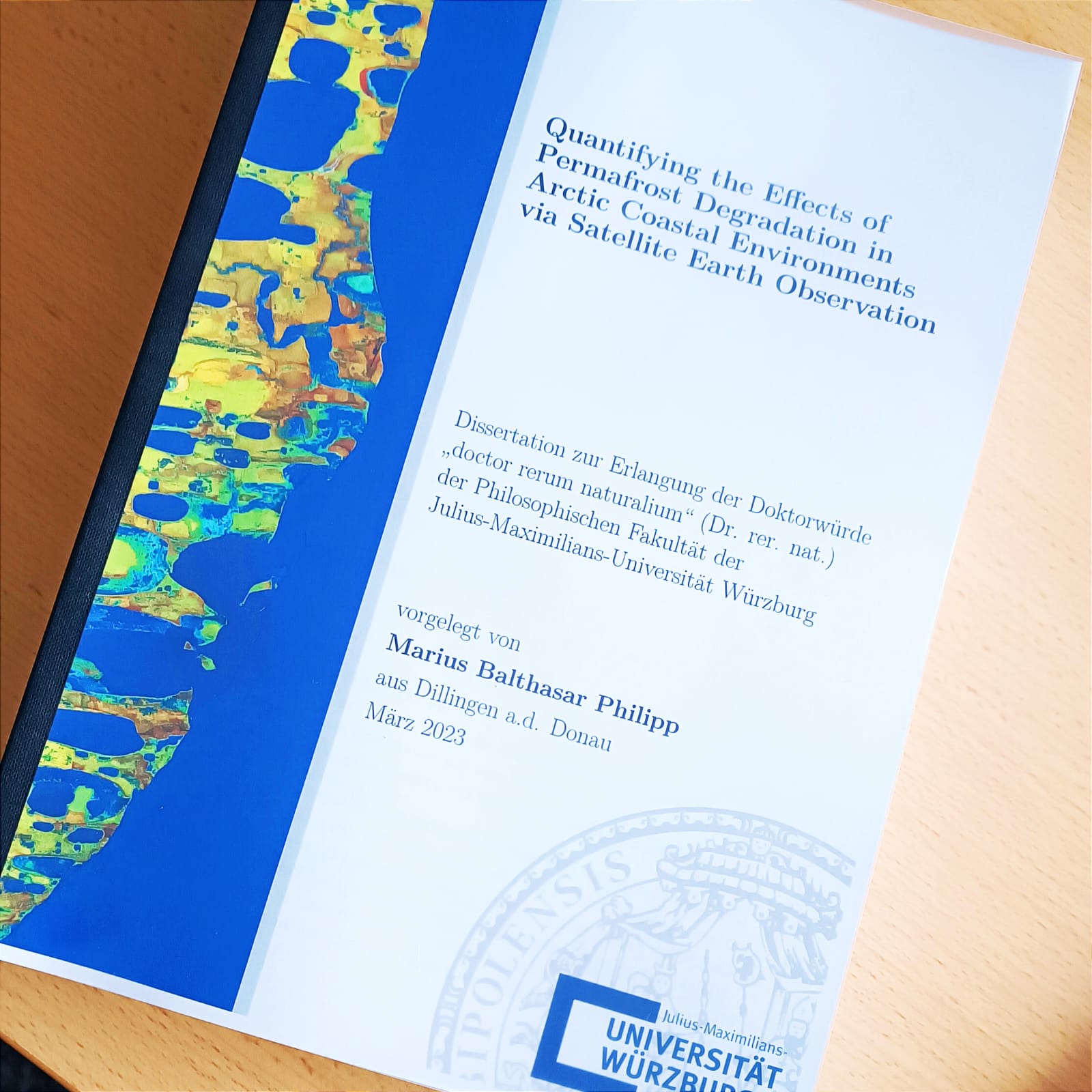
I’m happy to announce that after three years of an exciting PhD journey I handed in my PhD Thesis entitled “Quantifying the Effects of Permafrost Degradation in Arctic Coastal Environments via Satellite Earth Observation” and supervised by Prof. Dr. Claudia Künzer, Prof. Dr. Christof Kneisel and Prof. Dr. Tobias Ullmann.
Below you can find the summary of my dissertation:
Permafrost degradation is observed all over the world as a consequence of climate change and the associated Arctic amplification, which has severe implications for the environment. Landslides, increased rates of surface deformation, rising likelihood of infrastructure damage, amplified coastal erosion rates, and the potential turnover of permafrost from a carbon sink to a carbon source are thereby exemplary implications linked to the thawing of frozen ground material. In this context, satellite earth observation is a potent tool for the identification and continuous monitoring of relevant processes and features on a cheap, long-term, spatially explicit, and operational basis as well as up to a circumpolar scale. In this thesis, a specific focus was put on Arctic permafrost coasts, which feature increasing vulnerability to environmental parameters, such as the thawing of frozen ground, and are therefore associated with amplified erosion rates. In particular, a novel monitoring framework for quantifying Arctic coastal erosion rates within the permafrost domain at high spatial resolution and on a circum-Arctic scale is presented within this thesis. Challenging illumination conditions and frequent cloud cover restrict the applicability of optical satellite imagery in Arctic regions. In order to overcome these limitations, Synthetic Aperture RADAR (SAR) data derived from Sentinel-1 (S1), which is largely independent from sun illumination and weather conditions, was utilized. Annual SAR composites covering the months June-September were combined with a Deep Learning (DL) framework and a Change Vector Analysis (CVA) approach to generate both a high-quality and circum-Arctic coastline product as well as a coastal change product that highlights areas of erosion and build-up. Annual composites in the form of standard deviation (sd) and median backscatter were computed and used as inputs for both the DL framework and the CVA coastal change quantification. The final DL-based coastline product covered a total of 161,600 km of Arctic coastline and featured a median accuracy of ±6.3 m to the manually digitized reference data. Annual coastal change quantification between 2017-2021 indicated erosion rates of up to 67 m per year based on 400 m coastal segments for some areas. In total, 12.24% of the investigated coastline featured an average erosion rate of 3.8 m per year, which corresponds to 17.83 km² of annually eroded land area. Multiple quality layers associated to both products, the generated DL-coastline and the coastal change rates, are provided on a pixel basis to further assess the accuracy and applicability of the proposed data, methods, and products. The extracted circum-Arctic erosion rates were utilized as a basis in an experimental framework for estimating the amount of permafrost and carbon loss as a result of eroding permafrost coastlines. Information on permafrost fraction, Active Layer Thickness (ALT), soil carbon content, and surface elevation were thereby combined with the aforementioned erosion rates. While the proposed experimental framework provides a valuable outline for quantifying the volume loss of frozen ground and carbon release, extensive validation of the utilized environmental products and resulting volume loss numbers based on 200 m segments are necessary. Furthermore, data of higher spatial resolution and information of carbon content for deeper soil depths are required for more accurate estimates.


