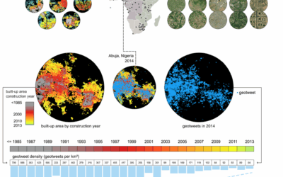
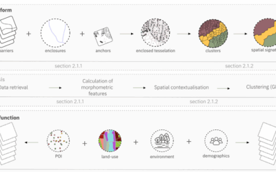
With the increasing spatial and temporal resolutions in Earth observation data, with the potential of artificial intelligence in image analysis, ethical concerns in the field of remote sensing also increase. A team of scientists from the Technical University of Munich, the Earth Observation Center of the DLR and the University of Würzburg have cooperated on the subject and published a paper entitled “Artificial Intelligence for Earth Observation: Understanding emerging ethical issues and opportunities” in the journal Geoscience & Remote Sensing Magazine.
From the abstract: Ethics is a central and growing concern in all applications utilizing artificial intelligence (AI). Earth observation (EO) and remote sensing (RS) research relies heavily on both big data and AI or machine learning (ML). While this reliance is not new, with increasing image resolutions and the growing number of EO/RS use cases that have a direct impact on governance, policy, and the lives of people, ethical issues are taking center stage. In this article, we provide scientists engaged with AI for EO (AI4EO) research, 1) a practically useful overview of the key ethical issues emerging in this field, with concrete examples from within EO/RS to explain these issues, and 2) a first road map (flowchart) that scientists can use to identify ethical issues in their on-going research. With this, we aim to sensitize scientists to these issues and create a bridge to facilitate constructive and regular communication among scientists engaged in AI4EO research, on the one hand, and ethics research, on the other hand. The article also provides detailed illustrations from four AI4EO research fields to explain how scientists can redesign research questions to more effectively grab ethical opportunities to address real-world problems that are otherwise akin to ethical dilemmas with no win-win solution in sight. The article concludes by providing recommendations to institutions that want to support ethically mindful AI4EO research and provides suggestions for future research in this field.
Please find the full paper here: https://ieeexplore.ieee.org/stamp/stamp.jsp?tp=&arnumber=9954451


