
New publication on detecting crisis events from unstructured text data published
Researchers of the TWT GmbH Science & Innovation in Stuttgart, the Earth Observation Center (EOC) of the the German Aerospace Center (DLR) in Wessling, the Department of Aerospace and Geodesy of the Technical University of Munich in Ottobrunn and our Earth Observation Research Cluster of the University of Würzburg teamed up for a study on detecting crisis events from unstructured text data. The paper titled “Detecting crisis events from unstructured text data using signal words as crisis determinants” was just published in the International Journal of Digital Earth by Hansi Senaratne, Martin Mühlbauer, Stephan Götzer, Torsten Riedlinger and Hannes Taubenböck. This study has been conducted as part of the Megacities project of the VW Momentum Initiative funded by the Volkswagen Foundation, and the project Open Search @DLR phase II funded by DLR.
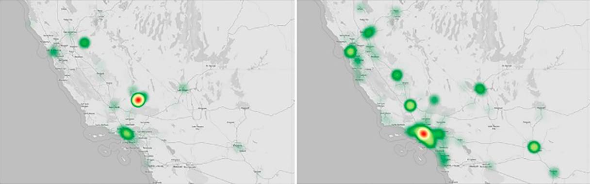
Here is the abstract: Earth observation data provides valuable information and support along the disaster management cycle. However, information from satellite remote sensing is often not available in the first hours a crisis occurs, due to several reasons, e.g. pre-defined acquisition times, cloud coverage, downlink capacities. To fill this time gap and add value to the incoming results from remote sensing data, ancillary datasets such as Twitter data become useful to enrich data and get insights into events by leveraging their spatio-temporal and thematic references. However, the main disadvantage of using Twitter data is the noise that is introduced into analyses by these data. Among other reasons, this is mainly caused by the use of insignificant search criteria that are used to harvest the data, that often result in irrelevant, noisy data (e.g. using insignificant keywords or incorrect geotags to filter data). This paper presents a method to identify crisis-event specific signal words, that are then used together with Part Of Speech (POS) tagging to filter the Twitter streams, and gather crisis-event specific data. These data are then used to estimate the location hotspots of the crisis events. The developed methods are applied as a proof-of-concept to determine flood events in May of 2022.
Here is the link to the full paper: https://www.tandfonline.com/doi/full/10.1080/17538947.2023.2278714
This works adds to earlier research studies using text data to derive geoinformation in the context of refugees (e.g. https://www.mdpi.com/2220-9964/12/4/175 ), for settlement type classification (e.g. https://ieeexplore.ieee.org/document/8519240 ) or to combine satellite data with social media data in the domain of the urban poor (e.g. https://www.mdpi.com/2220-9964/7/8/304 ).