
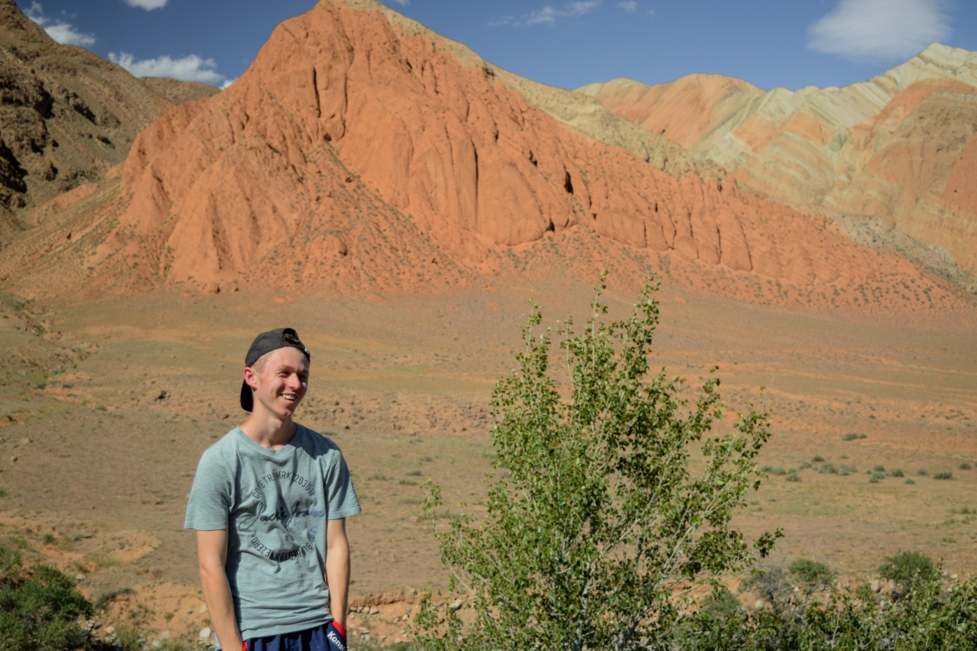

We welcome a new PhD student, Konstantin Müller, one of our former EAGLE students.
Konstantin Müller studied Computer Science at the JMU Würzburg before working as a software engineer and studying Aerospace IT. After switching to EAGLE and focusing his research in the direction of Earth Observation, he quickly was able to publish his first paper on Digital Surface Model creation through deep learning together with Hannes Taubenböck, Christian Geiss, and the Computer Science Department of the JMU. With his expertise on programming, he re-developed the already well established R package RStoolbox while coding QGIS plugins for the community. So far, he tries to keep his research in a multidisciplinary manner finishing a master thesis about animal path segmentation and starting a PHD in the direction of central African settlement development.
follow us and share it on:

you may also like:
Guest lecture on UAV Remote Sensing of the Cryosphere at UNIS, Svalbard, shows glacier retreat within one year
Last week, Sebastian Buchelt and Jakob Schwalb-Willmann traveled to Longyearbyen, Svalbard, for a teaching stay on the high-arctic island hosted by the University Centre in Svalbard (UNIS). Sebastian taught a three-day block course on...
EAGLE Goes Bouldering: Getting to Know the New Cohort
Some of the best conversations don’t happen in a seminar room but outside during a hike or - in this case - a climb. This week, the new EAGLE students got a chance to prove it, swapping lecture slides for climbing shoes at our bouldering social. We booked the Rock-In...
Stefan Dech awarded the Bavarian State Medal for Services to the Environment
Big news for the whole EORC family: Prof. Stefan Dech has received the Bavarian State Medal for Services to the Environment, one of the state’s official honors for environmental achievement. In the laudatio, the Bavarian State Ministry for the Environment and Consumer...
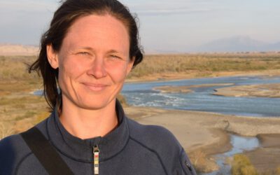
New Team Member Magdalena Lauermann
We are delighted to welcome Magdalena Lauermann, who joined the Earth Observation Research Cluster (EORC) in October as a researcher working on the AQUAMOS project. Magdalena has a background in physical geography, with a particular research focus on hydrological...
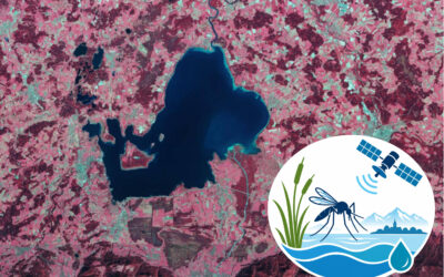
AQUAMOS: New Project on Mosquito Breeding Habitats and Early-Warning Systems
In October 2026, the EORC launched AQUAMOS: “AQUAtic Breeding Habitats and Early MOSquito Warning Systems Using Remote Sensing and Environmental Monitoring”. The pilot project aims to develop a monitoring and early-warning approach for the formation of temporary water...
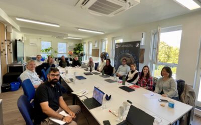
EO4CAM Biodiversity Meeting in Würzburg: Connecting Research, Data and Applications for Biodiversity Monitoring
On October 15, 2026, researchers from the EO4CAM (Earth Observation Laboratory for Climate Adaptation and Mitigation) project gathered in Würzburg for a dedicated biodiversity meeting. The meeting brought together researchers working on...
bzgl. Art. 50 Verordnung (EU) 2024/1689 (AI Act):
Überwiegend werden eigene originäre Texte und Bilder des EORC genutzt, jedoch sind einige Inhalte von blog post Texten teilweise mit Hilfe von KI überarbeitet worden und einige Bilder sind ganz mit KI erstellt, die jedoch deutlich keine photorealistische Darstellungen abbilden. Aussnahmen sind KI generierte fernerkundliche Datensätze, die explizit für Forschungszwecke mit KI erstellt wurden, hier wird aber durch den assoziierten Text der wissenschaftliche Grund der KI generierten Bilder erläutert.