New project: EOCap4Africa

New project: EOCap4Africa

m

October 25, 2023

We are exited that our new project “Earth observation in Africa: Capacity building for the conservation of ecosystems and their services (EOCap4Africa)” has recently started. The project is funded by the Federal Agency for Nature Conservation (BfN) with means of the Federal Ministry for the Environment, Nature Conservation, Nuclear Safety and Consumer Protection (BMUV).


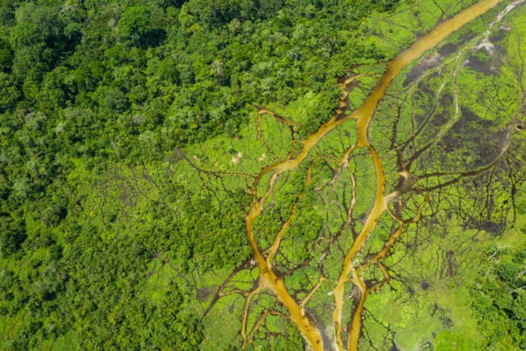
The aim of EOCap4Africa is strengthen the capacities of future conservation managers in the application of information generated by remote sensing for the protection and sustainable use of ecosystems, with a focus on wetlands and their services. We develop a curricular in close cooperation with African partners from the university sector. The idea is to spread knowledge about the potential of remote sensing data via students of relevant courses and to increase its application in the medium term. In addition, the project is pursuing an approach in which senior and junior scientists and practitioners are integrated into the EO work at the African partners. On the one hand, this is intended to ensure professional excellence in the development of the module, on the other hand, the capacities of young scientists are increased and the exchange of knowledge and experience is promoted.

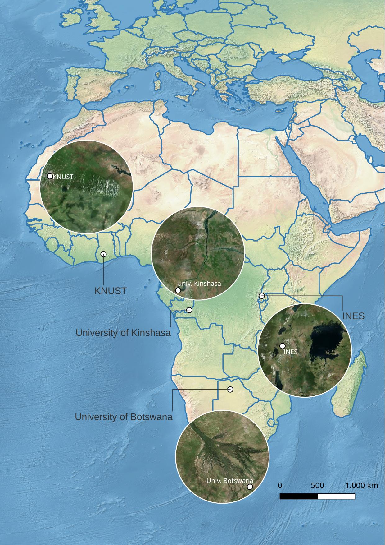
In EOCap4Africa we cooperate with four partner institutions in Africa, namely the Kwame Nkrumah University of Science and Technology in Kumasi (Ghana), the University of Kinshasa (DR Congo), the Institute of Applied Science in Ruhengeri (INES; Rwanda) and the University of Botswana in Gaborone/Maun (Botswana) as shown on the map on the left. In addition to our African partners we also cooperate with the German Aerospace Center and the Martin-Luther-University of Halle/Wittenberg.

you may also like:

Blender GIS introduction

Blender GIS introduction

Within out EAGLE Earth Observation M.Sc. we also cover software applications which might not be used on a regular basis within our field of research but are sometimes highly useful to display our spatial data in a visually appealing way - and also potentially provides...

EAGLE presentation by Gökçe Yağmur Budak

EAGLE presentation by Gökçe Yağmur Budak

On November 26, 2024, Gökçe Yağmur Budak will present her internship results on " Leveraging Data-Driven Approaches for Seismic Risk Assessment in Istanbul " at 12:30 in seminar room 3, John-Skilton-Str. 4a. From the abstract: This internship aims to create time...

JURSE – deadline for paper submission extended

JURSE – deadline for paper submission extended

JURSE - Joint Urban Remote Sensing Event   The 17th International Conference on Joint Urban Remote Sensing (JURSE), organized by Higher School of Communication of Tunis (SUP'COM) will take place in Tunisia from 4 to 7 May 2025. https://2025.ieee-jurse.org/ ;...

Professor Appolonia A. Okhimamhe visits DLR

Professor Appolonia A. Okhimamhe visits DLR

This week, we were delighted to welcome Professor Appolonia A. Okhimamhe from the Federal University of Technology (FUT) Minna, Nigeria, to the German Aerospace Center (DLR). She is a Professor of Geography and the Director of the Doctoral Programme on Climate Change...

PHD DEFENSE BY PATRICK ARAVENA PELIZARI ON DECEMBER 12, 2024

PHD DEFENSE BY PATRICK ARAVENA PELIZARI ON DECEMBER 12, 2024

On December 12, 2024, Patrick Aravena Pelizari will defend his doctoral thesis entitled "Multihazard-Expositionsmodellierung mit multimodalen Geobilddaten und Deep Learning" at the University of Würzburg. In his work, Patrick Aravena Pelizari explored the potential of...